What is recorded here
The interior of the site is very disturbed and is occupied by scrub and recently planted trees. A pair of possibly conjoined huts are located close to the trackway, on its E side. The hut at N (KE092-035004-) measures 5.3m in internal diameter and its interior is filled with sod-covered rubble. Its poorly defined walls preserve some external drystone facing at SW and measure up to 2.7m wide. Recent disturbance is evident at SE. Extending from the SE side of the hut, and abutting the adjoining hut on its E side, is a band of stone collapse and rubble, 7.7m long and 4.5m wide.
The above description is derived from A. O'Sullivan and J. Sheehan (compilers), 'The Iveragh peninsula: an archaeological survey of South Kerry'. Cork University Press (1996), no. 583. In certain instances the entries have been revised and updated in the light of recent research.
Date of upload: 29 July 2013
The monument record does not grant public access. Check the route and ask the landowner before entering private land.
- What survives
- Recorded monument
Places near here
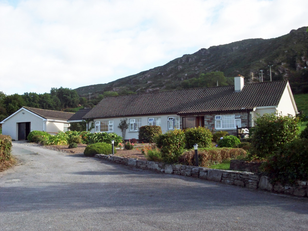 Hut site in DunkerronHut site · 6 yd
 Dunkerron CastleCastle · 479 yd
 Court (in Ruins)House, 16th/17th century · 496 yd
 Dunkerron Island EastIslet · 1232 yd
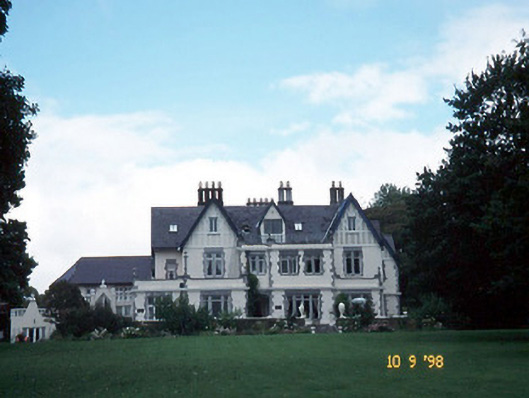 Dromquinna Manorcountry house · 1500 yd
 Dunkerron Island WestIslet · 1.1 mi
 Enclosure in Killaha EastEnclosure · 1.2 mi
 Mucksna Nature ReserveNature reserve · 1.5 mi
 Kenmare Stone CircleHeritage attraction · 1.6 mi
 Kenmare Tourist Information OfficeVisitor information · 1.8 mi
 Cleo GalleryGallery · 1.8 mi
 Monterey CypressMonterey Cypress · 1.8 mi