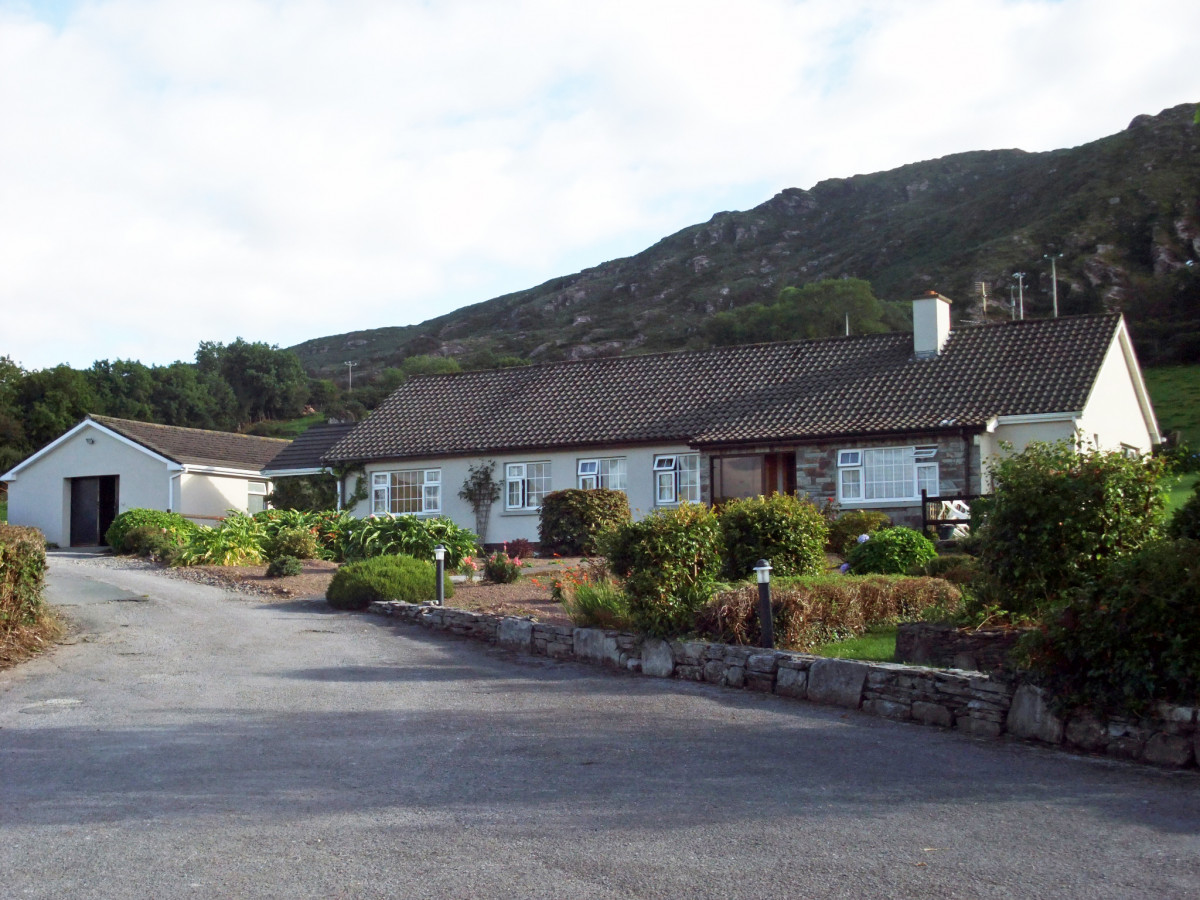
What is recorded here
The interior of the site is very disturbed and is occupied by scrub and recently planted trees. A pair of possibly conjoined huts are located close to the trackway, on its E side. That at S (KE092-035003-) survives as a roughly circular area of stone collapse which features a central depression, 5m in diameter. It has an overall diameter of 7.5m.
The above description is derived from A. O'Sullivan and J. Sheehan (compilers), 'The Iveragh peninsula: an archaeological survey of South Kerry'. Cork University Press (1996), no. 583. In certain instances the entries have been revised and updated in the light of recent research.
Date of upload: 29 July 2013
The monument record does not grant public access. Check the route and ask the landowner before entering private land.
- What survives
- Recorded monument
Places near here
 Dunkerron CastleCastle · 484 yd
 Court (in Ruins)House, 16th/17th century · 500 yd
 Dunkerron Island EastIslet · 1228 yd
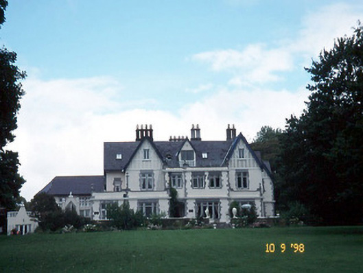 Dromquinna Manorcountry house · 1501 yd
 Dunkerron Island WestIslet · 1.1 mi
 Enclosure in Killaha EastEnclosure · 1.2 mi
 Mucksna Nature ReserveNature reserve · 1.5 mi
 Font (present location) in DawrosFont (present location) · 1.5 mi
 Kenmare Stone CircleHeritage attraction · 1.6 mi
 Kenmare Tourist Information OfficeVisitor information · 1.8 mi
 Cleo GalleryGallery · 1.8 mi
 Monterey CypressMonterey Cypress · 1.8 mi
Other information
Photo: Credit not shown in the picture search · Rights wording not checked; contact us if this picture should be removed