What is recorded here
O'Sullivan Bere's castle still stands at Dunboy, but a forgotten circular hut lies seventy metres southwest, buried beneath coniferous branches and scattered stone. Its narrow northeast entrance once opened onto a level area where someone may have lived, loved or fled before the wood closed over the truth. The castle belongs to history and the hut belongs to mystery, yet both share the same slope and the same forgetting.
Within a coniferous wood, on a NE-facing slope c. 70m to SW of O'Sullivan Bere's castle (CO128-001002-) at Dunboy. The remains of a circular hut site (diam. 4m) defined by a poorly preserved stone wall (H 0.3-0.7m) which has been cut into the upslope E-W. The entrance (Wth 0.75m) at the NE leads out to a level area. A coniferous tree is growing in the interior, which is obscured by rubble.
The above description is derived from 'The Archaeological Inventory of County Cork. Volume 5' (Dublin: Stationery Office, 2009).
Date of upload: 22 December 2009
The monument record does not grant public access. Check the route and ask the landowner before entering private land.
- What survives
- Recorded monument
Places near here
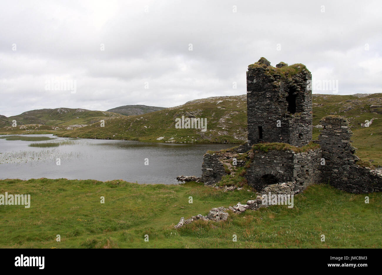
 Dunboy CastleRuins · 90 yd
 Castle (in Ruins)Castle, tower house · 92 yd
 Siege of Dunboysiege · 103 yd
 TraneenBeach / strand · 615 yd
 Dunboy WoodForest · 697 yd
 Enclosure in DisertEnclosure · 840 yd
 batterybattery · 1161 yd
 pill boxpill box · 1164 yd
 DoonigarPromontory fort, coastal · 1427 yd
 Ardnakinna West Island LoopWalking route · 1.0 mi
 Burial ground in DerrycreeveenBurial ground · 1.1 mi
 Sheep IslandsIslet · 1.2 mi
Other information
Photo: Credit not shown in the picture search · Rights wording not checked; contact us if this picture should be removed