What is recorded here
Described by Quinn and Carroll (2010) as ‘a large hut/stone enclosure located in pasture c. 30m to the east of walls (44). Original width of wall 1.05m. The hut is circular in plan and the walls survive to a maximum of 4 courses in height (0.8m). A possible entrance is located to the NW and SE. Internal Dimensions: 4.1m E/W x 4m N/S. A wall abuts the hut to the N and consists of an uncoursed random rubble wall. The wall is overgrown with grass and moss and survives to a maximum height of 0.35m. Wall to the north of the hut measures 28m in length and 0.9m in width. Wall to the south of the hut measures 46m and curves from N to SE to S to W. The annex abuts the hut to the east. It is constructed of random rubble and is largely collapsed. It consists of 2 courses in width (0.65m) and survives to a maximum of 2 courses in height.'
Quinn, A and Carroll, M (2010) ‘Archaeological, Architectural and Cultural Heritage Assessment for a Proposed Wind Farm at Doonens Co. Cork’, Unpublished report, Tobar Archaeological Services.
Compiled by: Denis Power
Date of upload: 22 August 2013
The monument record does not grant public access. Check the route and ask the landowner before entering private land.
- What survives
- Recorded monument
Places near here
 Hut site in Dooneens (muskerry West By., Inchigeelagh Par.)Hut site · 497 yd
 Field boundary in Dooneens (muskerry West By., Inchigeelagh Par.)Field boundary · 618 yd
 Doughill MountainMountain / peak · 1.0 mi
 Douce MountainMountain / peak · 1.1 mi
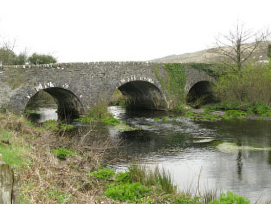 Inchinossig Bridgebridge · 2.5 mi
 Stepping StonesClapper bridge · 2.5 mi
 Gougane BarraValley and heritage place · 2.8 mi
 European ashEuropean ash · 3.0 mi
 Gortnahoughtee Mass RockNamed rock · 4.5 mi
 St Finbarr's Pilgrim RouteWalking route · 4.8 mi
 Togher CastleCastle, tower house · 5.5 mi
 Carriganass CastleCastle · 6.4 mi