What is recorded here
Doire Mhór Thiar holds a broken ring of earth where human hands shaped the land before the sea took back its edges. Inside the gapped bank, a circular hut and an underground passage still mark the presence of people who lived beside Tralee Bay. Outside, two shallow hollows and a crescent of stones suggest more rooms, more life, and more time spent in that small place. The bay has erased much of the boundary, but the shapes remain enough to imagine the household that moved through them.
Situated on low-lying, level ground on the S side of Tralee Bay, rath KE037-028---- is enclosed by an earthen bank, now much eroded and gapped. In the interior are traces of a circular hut and a Man-made underground passage, and 2 possible hut sites are visible outside the enclosing bank.
A spread of stones outside the WNW sector is raised c. 0.4 to .7m above the external ground level and contains traces of 2 possible hut sites. The northernmost is represented by a rectangular hollow, defined to E and W by low stones. It measures c. 5m NW-SE and 3m NE-SW. To SW of this a crescent-shaped, stony bank, .4 to .6m high, may have formed part of a 2nd hut (KE037-028004-).
The above description is derived from J. Cuppage, ‘Corca Dhuibhne. Dingle Peninsula archaeological survey. Ballyferriter. Oidhreacht Chorca Dhuibhne’ (1986), no. 388. In certain instances the entries have been revised and updated in the light of recent research.
Date of upload: 6 August 2013
The monument record does not grant public access. Check the route and ask the landowner before entering private land.
- What survives
- Recorded monument
Places near here
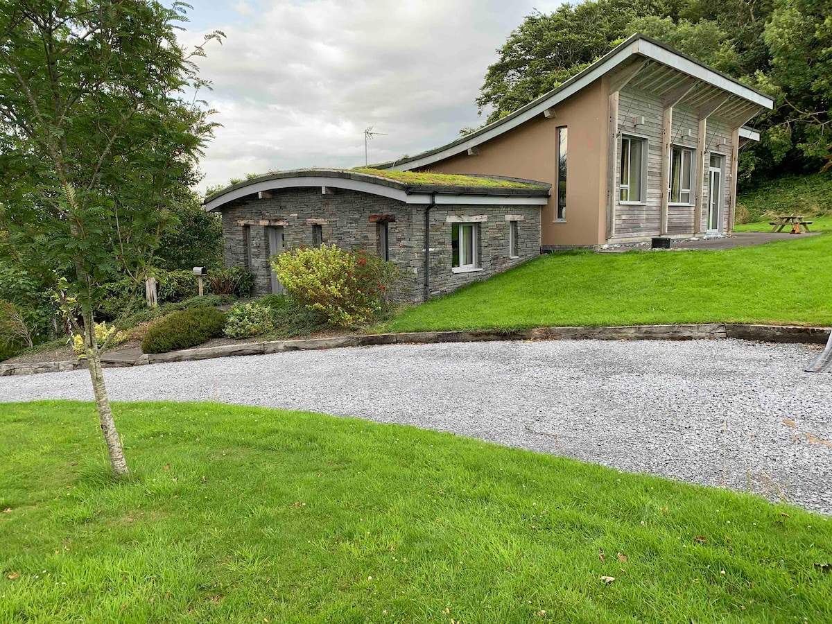 Hut site in Doire Mhór ThiarHut site · 19 yd
 Enclosure in Doire Mhór ThiarEnclosure · 401 yd
 Killelton Church (in ruins)Church · 1.3 mi
 Derrymore Island Nature ReserveNature reserve · 1.4 mi
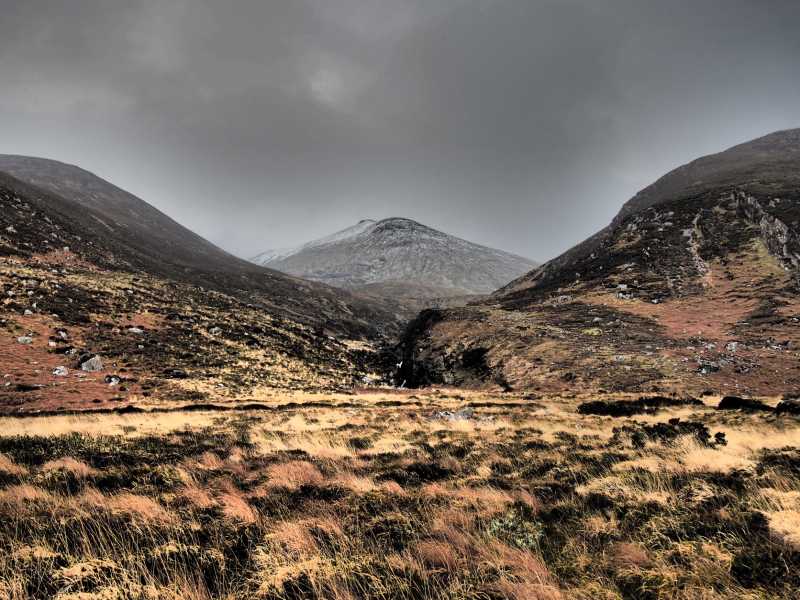 Baurtregaum NW TopMountain / peak · 1.9 mi
 GearhaneMountain / peak · 1.9 mi
 Saint BrendanMemorial · 2.2 mi
 Samphire IslandIslet · 2.3 mi
 Curraduff Bridgebridge · 2.6 mi
 Samphire Island LittleIslet · 2.6 mi
 Fenit BeachBeach / strand · 2.7 mi
 Site of Camp CastleCastle, unclassified · 2.8 mi