What is recorded here
Doire An Aonaigh holds two adjoining hut sites, marked only in shaded soil and forgotten stone. They waited through centuries of rain and foottraffic, unchanged while kingdoms rose and collapsed around them. The wind farm surveys came later, reading what human life had already written in earth.
During Environmental Impact assessments for the proposed Cleanrath Wind Farm in September 2010, January 2011 and December 2015, a number of sites of archaeological potential were noted, including two adjoining hut sites (see also CO069-095001-).
Compiled by: Anne-Julie Lafaye
The monument record does not grant public access. Check the route and ask the landowner before entering private land.
- What survives
- Recorded monument
Places near here
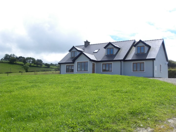 Hut site in Doire An AonaighHut site · 8 yd
 Enclosure in Doire An AonaighEnclosure · 70 yd
 Water millWater mill, horizontal-wheeled · 1.5 mi
 Séipéal Naomh Lachtáin [Saint Lachteen's Catholic Church]church/chapel · 1.9 mi
 Port Ban Nature Reserve, Irish Wildlife TrustNature reserve · 2.5 mi
 European long distance path E8 - part IrelandWalking route · 2.6 mi
 Sli Gaeltacht MuscraiWalking route · 3.2 mi
 CastleCastle, unclassified · 3.3 mi
 Carrignacurra CastleCastle · 3.4 mi
 MweelinMountain / peak · 4.2 mi
 Kealaboane WoodWood · 4.3 mi
 Mount ProspectMountain / peak · 4.6 mi