
What is recorded here
As part of Environmental Impact assessments for the proposed Cleanrath Wind Farm carried out in September 2010, January 2011 and December 2015, a number of sites of archaeological potential were noted, including a stone enclosure.
Compiled by: Anne-Julie Lafaye
The monument record does not grant public access. Check the route and ask the landowner before entering private land.
- What survives
- Recorded monument
Places near here
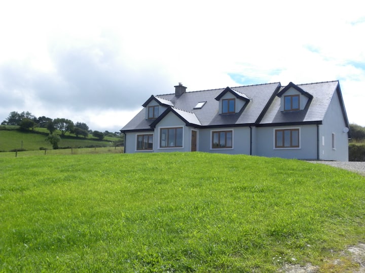 Hut site in Doire An AonaighHut site · 70 yd
 RathgaskigFairy fort / earthen ringfort · 1.2 mi
 Water millWater mill, horizontal-wheeled · 1.5 mi
 Séipéal Naomh Lachtáin [Saint Lachteen's Catholic Church]church/chapel · 2.0 mi
 Port Ban Nature Reserve, Irish Wildlife TrustNature reserve · 2.6 mi
 European long distance path E8 - part IrelandWalking route · 2.6 mi
 Sli Gaeltacht MuscraiWalking route · 3.1 mi
 CastleCastle, unclassified · 3.3 mi
 Carrignacurra CastleCastle · 3.4 mi
 MweelinMountain / peak · 4.2 mi
 Kealaboane WoodWood · 4.3 mi
 Mount ProspectMountain / peak · 4.5 mi
Other information
Photo: Credit not shown in the picture search · Rights wording not checked; contact us if this picture should be removed