What is recorded here
Large sub-circular hut site situated on a relatively flat terrace. Internal diameter of 4.5m, external diameter of 6m and walls are 1m high. Possible entrance on south side although this is not very clear due to stones rolling from the walls and collapse. Appears to be isolated although scattered stone in the vicinity may indicate former sites. It may be a turf cutters hut although its large size suggests it may have been used for seasonal or temporary settlement (Ó Murchú 2016).
The monument record does not grant public access. Check the route and ask the landowner before entering private land.
- What survives
- Recorded monument
Places near here
 St. Doran's WellArchaeological place · 1.3 mi
 Cross in Askinvillar UpperCross · 1.3 mi
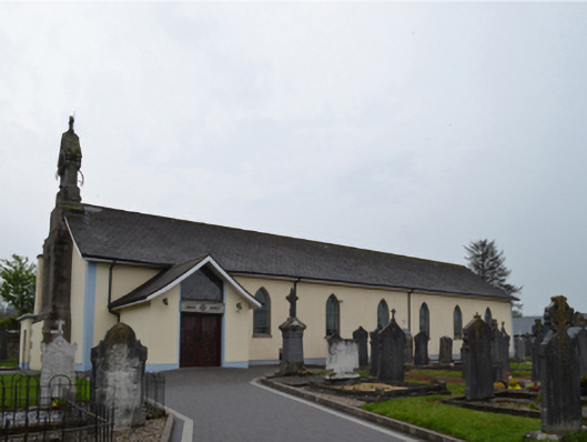 Catholic Church of Saint Patrick and Saint Ceceliachurch/chapel · 1.5 mi
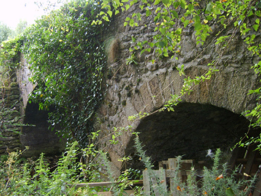 Askinvillar Bridge or Rigley's Bridgebridge · 1.5 mi
 KnockroeMountain / peak · 2.0 mi
 Coonogue WoodForest · 2.2 mi
 SlievebaunMountain / peak · 2.3 mi
 1798 MemorialMemorial · 3.3 mi
 Mount LeinsterMountain · 3.7 mi
 Irish Hangliding and Paragliding AssociationMemorial · 3.8 mi
 Killoughrum ForestForest · 5.7 mi
 St. Mullins MoatCastle, motte and bailey · 8.0 mi
Other information
Photo: Credit not shown in the picture search · Rights wording not checked; contact us if this picture should be removed