What is recorded here
The following description is derived from both the published 'Archaeological Inventory of County Louth' (Dublin: Stationery Office, 1986) and the 'Archaeological Survey of County Louth' (Dublin: Stationery Office, 1991). In certain instances the entries have been revised and updated in the light of recent research.
Date of upload/revision: 17 July 2007
Remains of hut site situated on rocky shelf of the upper E slopes of Anglesey Mt. Interior roughly circular in plan (int. dims. 3.9m E-W, 4.1m N-S), enclosed by a low stone wall (Wth 1.5m, H 0.3m) with an entrance gap (Wth 0.9m) at the SE.
The monument record does not grant public access. Check the route and ask the landowner before entering private land.
- What survives
- Recorded monument
Places near here
 Fulacht fia in CornamucklaghFulacht fia · 384 yd
 Anglesey MountainMountain / peak · 787 yd
 LisleaFairy fort / earthen ringfort · 1155 yd
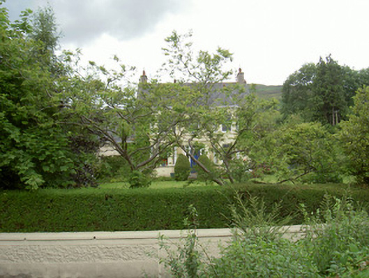 Annaghill Househouse · 1450 yd
 ClermontMountain / peak · 1.0 mi
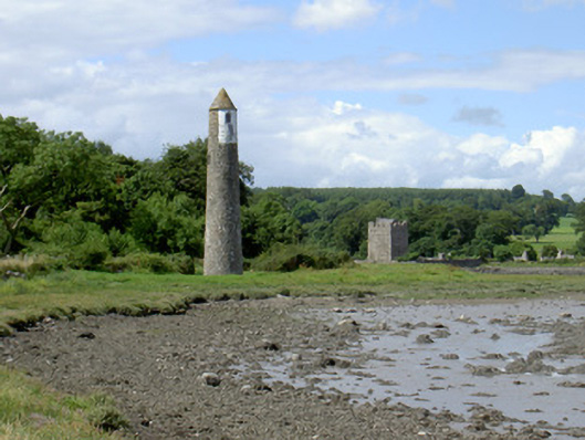 Newry River Lighthouse (Rear)beacon · 1.1 mi
 Narrow Water KeepHeritage attraction · 1.2 mi
 TOWER-HOUSE AND BAWN: NARROW WATER CASTLE in Narrow WaterTOWER-HOUSE AND BAWN: NARROW WATER CASTLE · 1.2 mi
 Narrow Water WatchtowerVisitor information · 1.2 mi
 Warrenpoint ambushambush · 1.2 mi
 Ring of Gullion Way - Section 2Walking route · 1.3 mi
 Narrow Water CastleCastle · 1.3 mi
Other information
Photo: Credit not shown in the picture search · Rights wording not checked; contact us if this picture should be removed