What is recorded here
Coonane holds a seven-metre circular hut on a terrace beside a wedge tomb, its low grass-covered bank still marking the boundary between human life and hill grazing. Stones protrude through the top like forgotten teeth, while moor grass fills the interior where people may have stood, breathed and watched the valley change. The site survives as a quiet edge of memory, small enough to walk around but heavy enough to remind us that the hill was once shared.
In rough hill grazing, on a terrace that extends S from the wedge tomb (CO091-010007-) c. 80m to the NNE. The remains of a circular hut site (diam. 7m) defined by a low grass-covered bank (Wth 1.5m; H 0.2m). Stones of varying sizes protrude occasionally from the top of the bank. The level interior is covered with moor grass.
The above description is derived from 'The Archaeological Inventory of County Cork. Volume 5' (Dublin: Stationery Office, 2009).
Date of upload: 22 December 2009
The monument record does not grant public access. Check the route and ask the landowner before entering private land.
- What survives
- Recorded monument
Places near here
 Wedge tomb in CoonaneWedge tomb · 88 yd
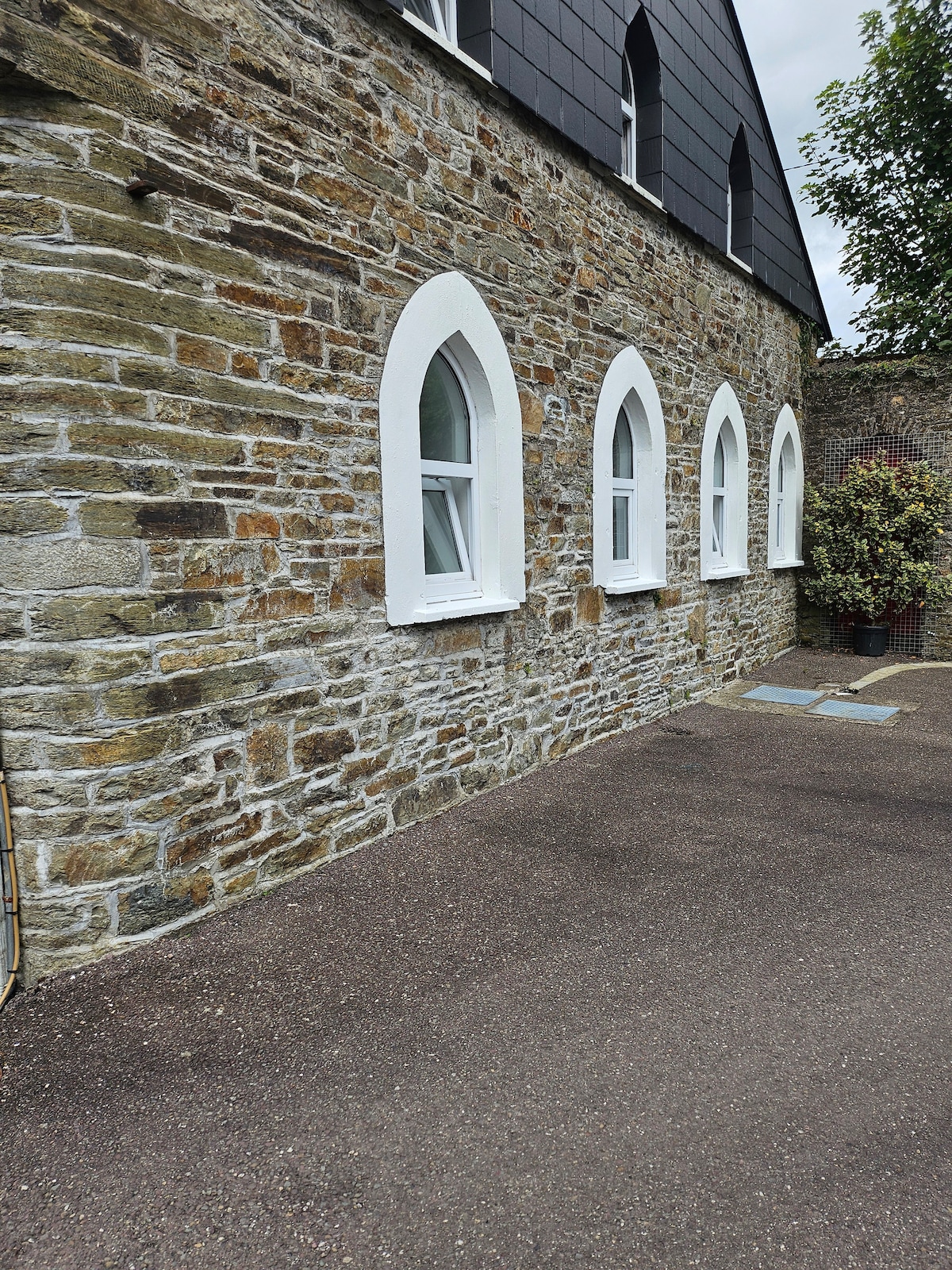 Enclosure in CoonaneEnclosure · 117 yd
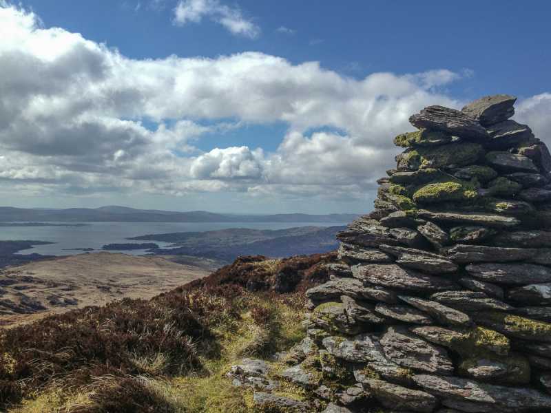 Barraboy Mountain SE TopMountain / peak · 1.2 mi
 The Priest's LeapMountain / peak · 1.4 mi
 The Priests LeapViewpoint · 2.0 mi
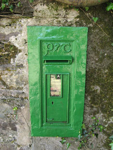 post boxpost box · 2.2 mi
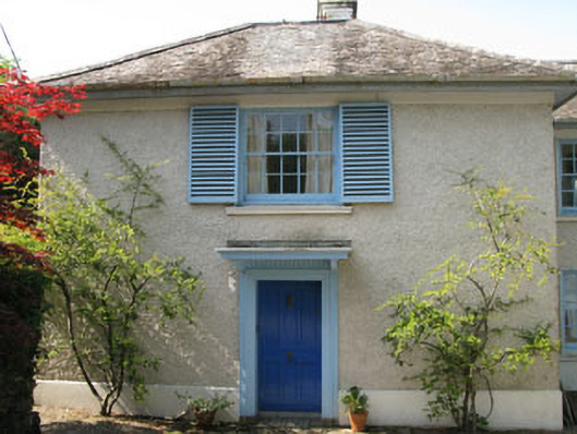 Toad Hallhouse · 2.2 mi
 Tasmanian bluegumTasmanian bluegum · 2.2 mi
 Calf IslandIslet · 2.4 mi
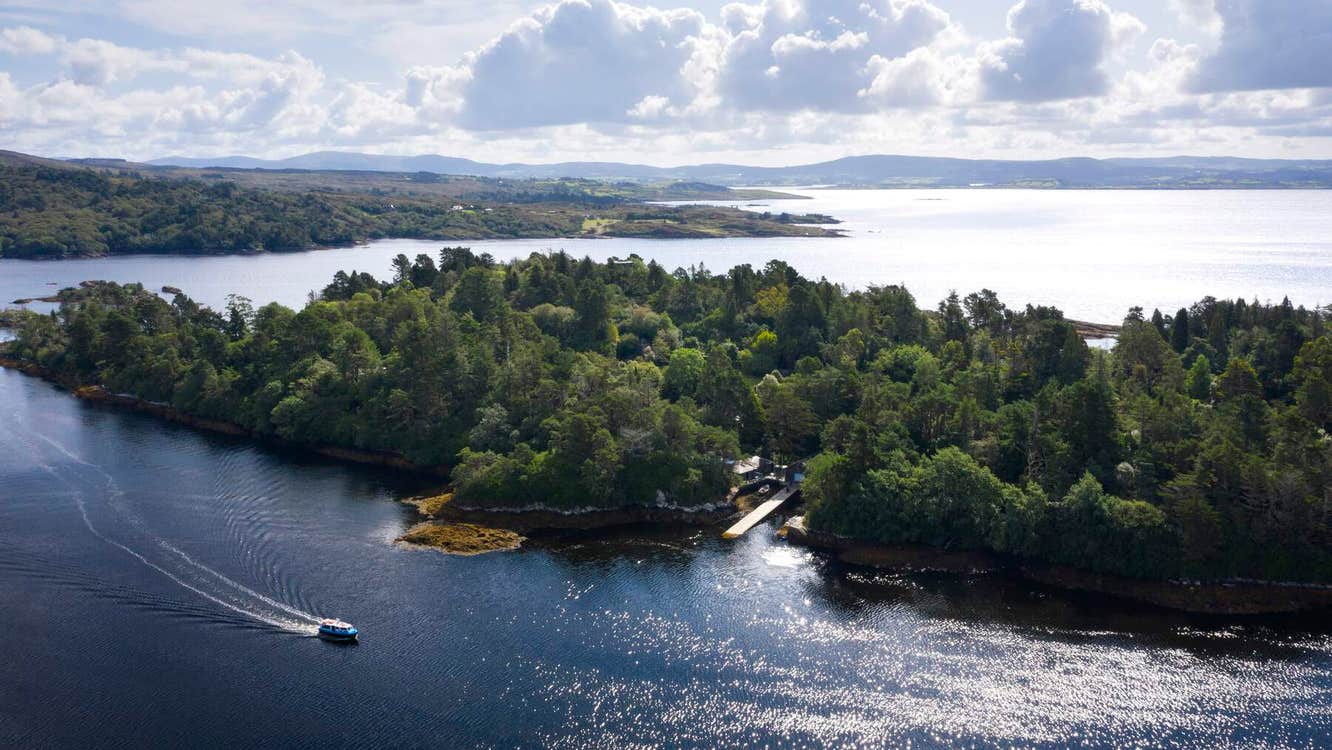 Garranboy IslandIslet · 2.5 mi
 The Blue PoolHeritage attraction · 2.6 mi
 Molly Gallivan's Cottage & Traditional FarmMuseum · 2.7 mi