What is recorded here
In rough hill pasture, on a terrace on cutaway bog on a SW-facing slope and within a network of relict field boundaries (CO104-021003-). The remains of a D-shaped hut site (6m E-W) defined by curving stone walls (T 0.55m; H 0.35m) with a straight W side (L 4.8m). The walls protrude above the surface of the remaining shallow bog. Rushes obscure the level interior and the surrounding area.
The above description is derived from 'The Archaeological Inventory of County Cork. Volume 5' (Dublin: Stationery Office, 2009).
Date of upload: 22 December 2009
The monument record does not grant public access. Check the route and ask the landowner before entering private land.
- What survives
- Recorded monument
Places near here
 Field boundary in CoomarkaneField boundary · 266 yd
 Field boundary in Coomarkane,derreenboy Upper,crossterry WestField boundary · 446 yd
 Old Stone CottagesHeritage attraction · 476 yd
 Glenlough MountainMountain / peak · 1.1 mi
 Derrynafulla SWMountain / peak · 1.1 mi
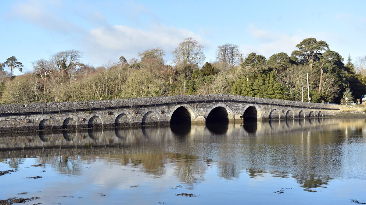 Bridge in Coorannel,derrynafullaBridge · 1.8 mi
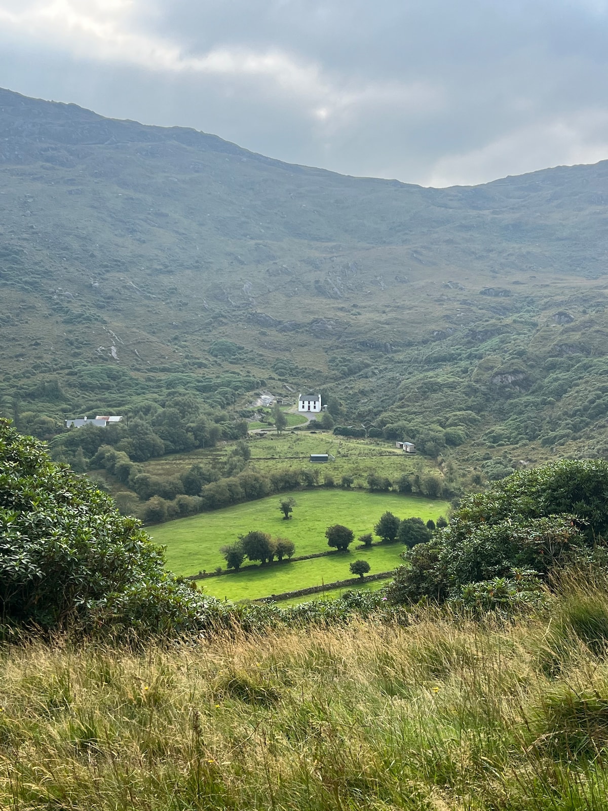 Ahnaclaha BrBridge · 2.4 mi
 Glengarriff WoodsWood · 2.5 mi
 Lady Bantry's LookoutViewpoint · 2.9 mi
 DroppaCliff · 3.1 mi
 Graveyard in CappyaughnaGraveyard · 3.4 mi
 IllaunageraghIslet · 3.4 mi