
What is recorded here
In rough pasture, on a SW-facing hillslope. The remains of a possible hut site (diam. c. 5m), which was defined by a low grass-covered bank of stone, were recorded at this location in 1993. This hill field has been partially reclaimed by the creation of surface drains and the clearance of surface stones. There is now no visible trace of the possible hut site at ground level. It may have been disturbed during the course of the reclamation works.
The above description is derived from 'The Archaeological Inventory of County Cork. Volume 5' (Dublin: Stationery Office, 2009).
Date of upload: 22 December 2009
This remains an important historical record, but the official description says the monument is no longer visible or has been destroyed. The monument record does not grant public access. Check the route and ask the landowner before entering private land.
- What survives
- No visible remains or recorded as destroyed
Places near here
 Field boundary in Commons East (bear By.)Field boundary · 199 yd
 Killeenagh Burial GroundBurial ground · 1123 yd
 Beara WayWalking route · 1689 yd
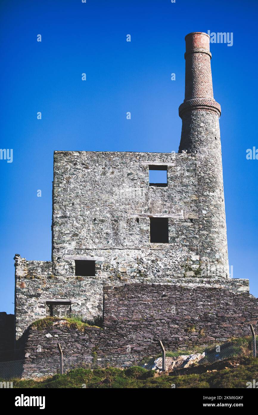 MineMine, copper · 1.2 mi
 Eagle HillMountain / peak · 1.6 mi
 SkelligMountain / peak · 1.7 mi
 Wild Atlantic WayVisitor information · 1.9 mi
 coastguard stationcoastguard station · 2.2 mi
 Eyeries - Coastguard Station LoopWalking route · 2.6 mi
 CarrigleamoreIslet · 2.8 mi
 The BullIslet · 3.0 mi
 Pallas StrandBeach / strand · 3.1 mi
Other information
Photo: Credit not shown in the picture search · Rights wording not checked; contact us if this picture should be removed