What is recorded here
In rough rocky pastureland, on a W facing slope below the summit of the SW end of the Mount Eagle to Slea Head ridge. An oval, corbelled drystone foundation. D: 3m x 1.75m. H: 1.5m. T: .7m. Possible remains of a conjoined structure at E, and less certain traces of a 3rd structure a little downslope to W.
The above description is derived from J. Cuppage, ‘Corca Dhuibhne. Dingle Peninsula archaeological survey. Ballyferriter. Oidhreacht Chorca Dhuibhne’ (1986), no. 1227. In certain instances the entries have been revised and updated in the light of recent research.
Date of upload: 5 August 2013
The monument record does not grant public access. Check the route and ask the landowner before entering private land.
- What survives
- Recorded monument
Places near here
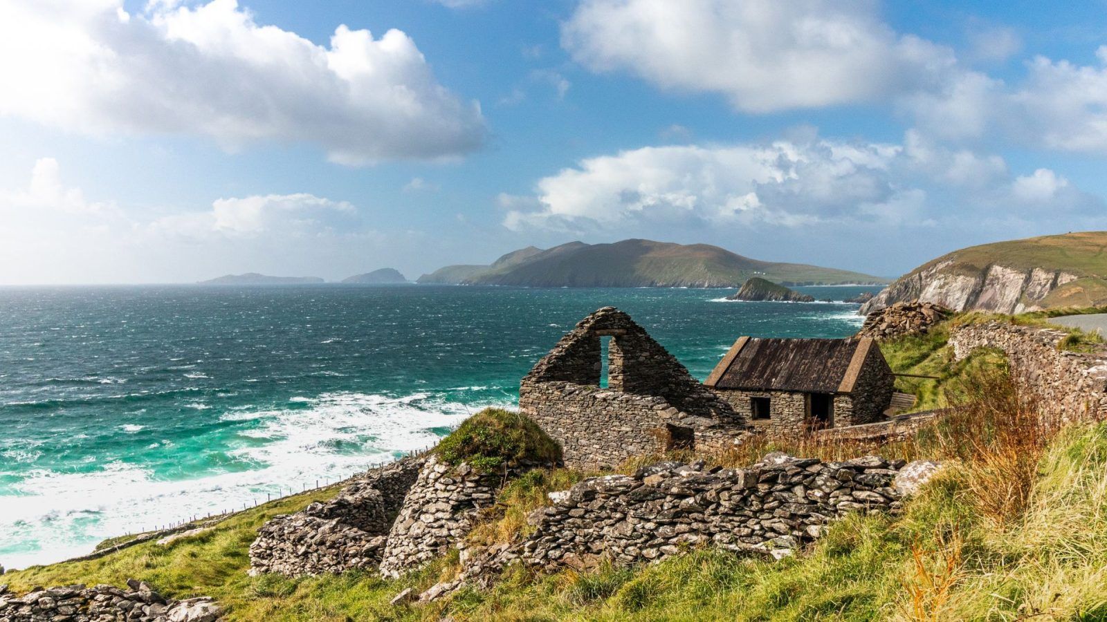 CloghaunsHut site · 205 yd
 CloghaunHut site · 226 yd
 Ceann SléibheHeadland · 684 yd
 Binn an ChomaMountain / peak · 1037 yd
 Clochán MórHeritage attraction · 1065 yd
 Hold a Baby LambHeritage attraction · 1115 yd
 Traigh an ChomaBeach / strand · 1124 yd
 Na Leacacha RéidheCliff · 1455 yd
 Dunmore HeadViewpoint · 1.2 mi
 Sliabh an IolairMountain / peak · 1.3 mi
 Church in Baile An GhleannaChurch · 1.6 mi
 Church in Gleann LoicChurch · 2.0 mi