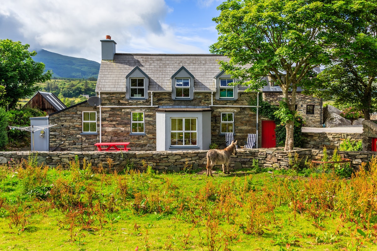
What is recorded here
In rough hill pasture, in a sheltered hollow just N of the summit of Knockaughna. The remains of a rectangular hut site (3.2m N-S; 2.2m E-W) defined by the lower courses of a drystone wall (T 0.6m; H 0.4m), which is in a jumbled state and is partially obscured by gorse and heather. Rubble is scattered in the interior and along the perimeter of the hut site externally. Another hut site (CO139-072002-) adjoins this hut at the W.
The above description is derived from 'The Archaeological Inventory of County Cork. Volume 5' (Dublin: Stationery Office, 2009).
Date of upload: 22 December 2009
The monument record does not grant public access. Check the route and ask the landowner before entering private land.
- What survives
- Recorded monument
Places near here
 KnockaughnaMountain / peak · 80 yd
 Burial Gd (Disused)Burial ground · 819 yd
 Derryfunchionhouse · 1364 yd
 Killeenagh FortFairy fort / earthen ringfort · 1.2 mi
 Dunbeacon Castle (in Ruins)Castle, tower house · 1.5 mi
 Owen's IslandIslet · 2.2 mi
 Air India Flight 182 Crash MemorialMemorial · 2.2 mi
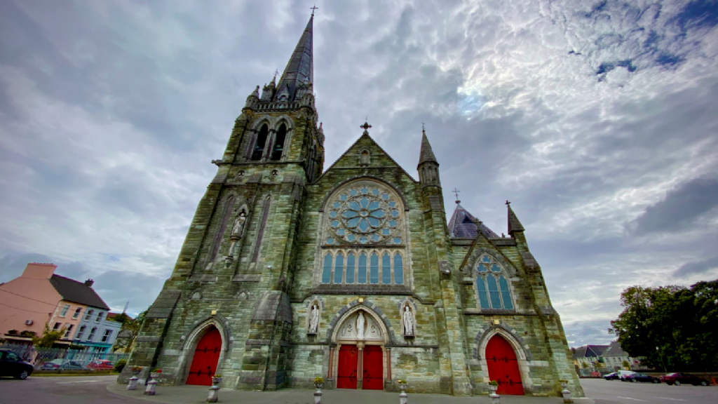 Kilcarriel Church (in Ruins)Church · 2.4 mi
 Mount Gabriel View Point toward NorthViewpoint · 2.4 mi
 Mount GabrielMountain / peak · 2.5 mi
 Mount Gabriel View Point toward SouthViewpoint · 2.5 mi
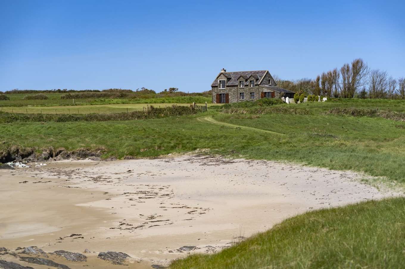 Horse IslandIslet · 2.6 mi
Other information
Photo: Credit not shown in the picture search · Rights wording not checked; contact us if this picture should be removed