What is recorded here
Small almost circular raised area (int. diam. c. 16.2m) partially dug into the natural SW-NE inclining slope of a hillside. Enclosed from WNW-E-SSE by a low bank of earth and stone and elsewhere by its scarped remains. Original entrance not recognisable. Densely overgrown with vegetation.
The above description is derived from the published 'Archaeological Inventory of County Cavan' (Dublin: Stationery Office, 1995). In certain instances the entries have been revised and updated in the light of recent research.
Date of upload/revision: 22 December 2008
The monument record does not grant public access. Check the route and ask the landowner before entering private land.
- What survives
- Recorded monument
Places near here
 The Big Man's GraveArchaeological place · 199 yd
 Carraig-na-SasanacNamed rock · 293 yd
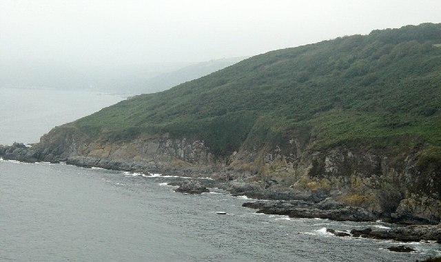 Black RockMountain / peak · 393 yd
 Doon Wet WoodlandWood · 1190 yd
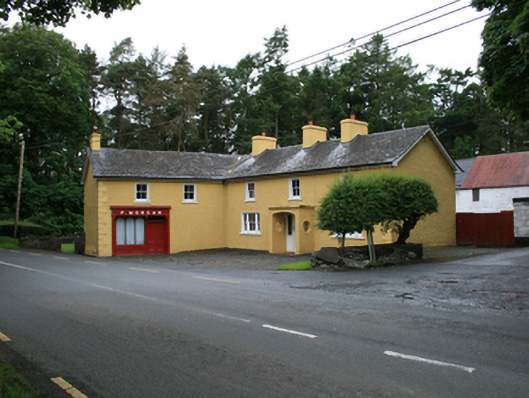 P. Morganfarm house · 1.0 mi
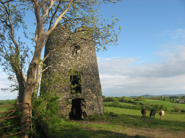 Windmill in Enagh (crossbane Ed)Windmill · 1.1 mi
 EnaghMountain / peak · 1.1 mi
 Ardlow National Schoolschool · 1.1 mi
 Tober UltanHoly well · 1.2 mi
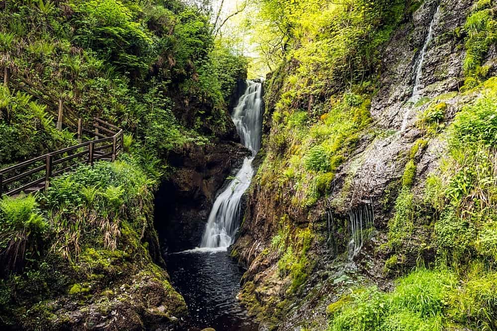 Annagharnet North ForestForest · 1.5 mi
 Birthplace of General Philip SheridanMemorial · 1.7 mi
 Welcome to VirginiaVisitor information · 2.2 mi