What is recorded here
Situated on the southern bank of a stream 8m WSW of a hut (MA084-002002-). The site comprise part of a very low, grassy platform (H 0.2m), about half of which has been eroded away by the stream. The surviving portion suggests that it was roughly rectangular in plan, with its long axis running NW–SE. Although the whole north-western part of the platform is gone, it was at least 5m long and 1.75m wide. A horizontal lens of charcoal (L c. 1.2m) is visible in the eroding stream bank towards the north-western end: its top lies 0.2–0.25m below the sod.
The above description is derived from: New Survey of Clare Island. Volume 5: Archaeology. Edited by Paul Gosling, Conleth Manning and John Waddell. (Royal Irish Academy, Dublin. 2007). In certain instances the entries have been revised and updated.
Date of upload: 29 November 2018
The monument record does not grant public access. Check the route and ask the landowner before entering private land.
- What survives
- Recorded monument
Places near here
 Enclosure in BunnamohaunEnclosure · 163 yd
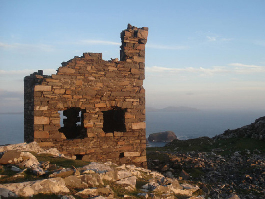 Shivel Head Signal Towersignal tower · 686 yd
 Clare Island Signal TowerRuins · 687 yd
 farm housefarm house · 935 yd
 KnockmoreMountain / peak · 1520 yd
 Clare IslandIsland · 1.7 mi
 ScalpatruceMountain / peak · 1.7 mi
 Granuaile's CastleCastle · 3.5 mi
 Acaill BheagIsland · 5.6 mi
 Turloughbeg StrandBeach / strand · 6.1 mi
 Carrownisky BeachBeach / strand · 6.7 mi
 Kildavnet CastleCastle, tower house · 6.7 mi