
What is recorded here
Situated on a steep SW-facing hill slope, part of the western flanks of Knockmore. There is a stream c. 35m to S, and the Prawke Group of houses and huts (eg. MA084-003002-, MA084-003003-, MA084-003004--) lie about 100m to SE, just out of sight and slightly further upslope.
The enclosure comprises a very poorly preserved enclosure, roughly circular in plan (NW–SE c. 21m). Although difficult to discern from a distance, it is clearly evident once you are within it. It is defined from W to N by a very slight, stony bank (H 0.6m max.), more clearly defined along its inner face. From N to E, an inward-facing scarp defines the upslope side: this is very faint, its line indicated by a slight break of slope (H 0.5m max.) and a scatter of boulders that protrude from its face. From E to SE, a short arc of broad stony bank continues its line. At SE, this bank terminates at a faint gap (Wth c. 2m) that probably marks the original entrance. From SSE through S and W a low outward-facing scarp (H 0.5m max.) delimits the downslope side. The interior, which slopes gently from N to S, is grassy save for a few stones and earthfast boulders that protrude from the sward. There is a slight break of slope just S of centre and the southern half of the interior is less inclined than the northern half. There are traces of at least one grassed-over cultivation ridge in the south-western sector, and one of the associated houses (MA084-003002-) occupies most of the south-eastern sector. Two huts are also associated: one on the south-western limits of the enclosure (MA084-003003-) and the other directly out- side it at S (MA084-003004-), respectively.
The above description is derived from: New Survey of Clare Island. Volume 5: Archaeology. Edited by Paul Gosling, Conleth Manning and John Waddell. (Royal Irish Academy, Dublin. 2007). In certain instances the entries have been revised and updated.
Date of upload: 29 November 2018
The monument record does not grant public access. Check the route and ask the landowner before entering private land.
- What survives
- Recorded monument
Places near here
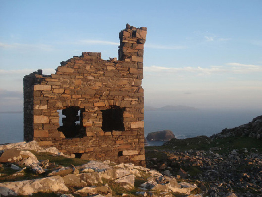 Shivel Head Signal Towersignal tower · 792 yd
 Clare Island Signal TowerRuins · 793 yd
 farm housefarm house · 978 yd
 KnockmoreMountain / peak · 1360 yd
 DoonPromontory fort, coastal · 1599 yd
 Clare IslandIsland · 1.6 mi
 ScalpatruceMountain / peak · 1.6 mi
 Granuaile's CastleCastle · 3.4 mi
 Acaill BheagIsland · 5.5 mi
 Turloughbeg StrandBeach / strand · 6.1 mi
 Kildavnet CastleCastle, tower house · 6.6 mi
 Caisle án GhráinneHeritage attraction · 6.6 mi
Other information
Photo: Credit not shown in the picture search · Rights wording not checked; contact us if this picture should be removed