What is recorded here
Situated at the foot of a slight rise (H 0.5m) on a S-facing slope, 3m W of a conjoined hut (MA084-012----). It consists of the well-defined remains of a small hut of rectangular plan (N–S 1.5m, E–W 1.15m internally), its long axis running N–S. Traces of a double-faced drystone wall (Wth 0.6m max.) of stones and boulders delimit it along the eastern, southern and western sides. There is a large, well-set upright (L 0.7m, Wth 0.3m H 0.35m) in the western wall at the south-western corner. In contrast, the northern side is defined by a slight scarp (H 0.25m), although there is one set stone at eastern end and another flat one near the western end. An entrance gap (Wth 0.5m) in the south-eastern corner gives access to the grassy interior, which is dished in profile and clear of stones.
The above description is derived from: New Survey of Clare Island. Volume 5: Archaeology. Edited by Paul Gosling, Conleth Manning and John Waddell. (Royal Irish Academy, Dublin. 2007). In certain instances the entries have been revised and updated.
Date of upload: 29 November 2018
The monument record does not grant public access. Check the route and ask the landowner before entering private land.
- What survives
- Recorded monument
Places near here
 Enclosure in BunnamohaunEnclosure · 344 yd
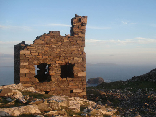 Shivel Head Signal Towersignal tower · 874 yd
 Clare Island Signal TowerRuins · 875 yd
 farm housefarm house · 1141 yd
 KnockmoreMountain / peak · 1.4 mi
 Clare IslandIsland · 2.1 mi
 ScalpatruceMountain / peak · 2.2 mi
 Granuaile's CastleCastle · 3.8 mi
 Caher IslandIsland · 5.3 mi
 Turloughbeg StrandBeach / strand · 6.2 mi
 Carrownisky BeachBeach / strand · 6.7 mi
 Kildavnet CastleCastle, tower house · 7.2 mi