What is recorded here
A rough line of stones forming a rectangular area (5m E-W x 3.3m N-S). It adjoins the wall of the enclosure (CO102-030001-).
Subsequent to being published in the Archaeological Inventory of Co. Cork vol. 1, this hut site was excavated and was radiocarbon dated to 895±20BP (GrN-28304), pointing to the use of this hut shelter in the 11th or 12th centuries AD (O'Brien 2006, 39).
The above description is derived from the published 'Archaeological Inventory of County Cork. Volume 1: West Cork' (Dublin: Stationery Office, 1992). In certain instances the entries have been revised and updated in the light of recent research.
Date of upload/revision: 14 January 2009
The monument record does not grant public access. Check the route and ask the landowner before entering private land.
- What survives
- Recorded monument
Places near here
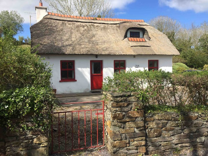 Hut site in BarreesHut site · 96 yd
 Field boundary in Barrees,bawnardField boundary · 291 yd
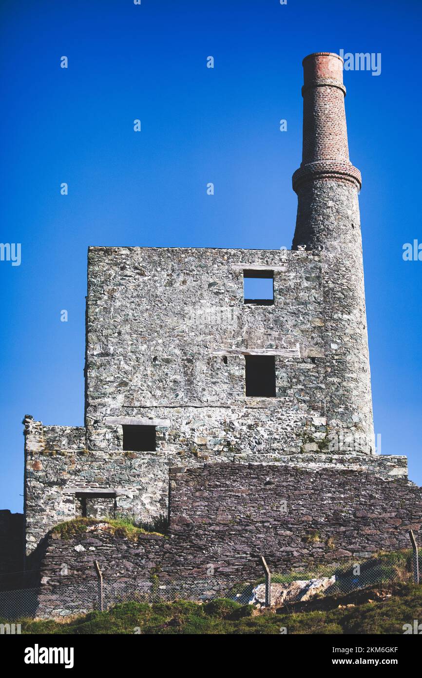 MineMine, copper · 995 yd
 Wild Atlantic WayVisitor information · 1.1 mi
 coastguard stationcoastguard station · 1.4 mi
 SkelligMountain / peak · 1.6 mi
 Beara WayWalking route · 1.8 mi
 GortbrackMountain / peak · 2.1 mi
 Eyeries - Coastguard Station LoopWalking route · 2.2 mi
 CarrigleamoreIslet · 2.3 mi
 Eyeries IslandIslet · 2.6 mi
 Pallas StrandBeach / strand · 2.8 mi