What is recorded here
A ‘D-shaped’ area (dims. 2.2m NW-SE; 1.5m NE-SW) defined by the remains of a low, drystone wall (Wth 0.5m; H 0.2-0.35m) NE->S->W and utilises a natural rock face to NW. It is cut into the slope N->NE where a type of retaining wall (int. H 0.4m) has been built to compensate for the incline. The interior is generally level with stone collapse from the enclosing walls evident within the perimeter.
See attached photograph courtesy John Cronin.
Compiled by: Caimin O'Brien based on details provided by John Cronin
Date of upload: 8 April 2022
The monument record does not grant public access. Check the route and ask the landowner before entering private land.
- What survives
- Recorded monument
Places near here
 Hut site in BarnastookaHut site · 273 yd
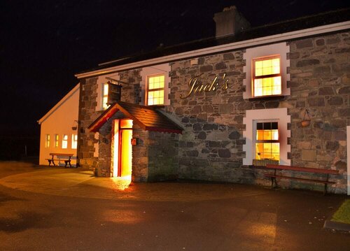 Booley hut in Cummeen UpperBooley hut · 751 yd
 Carran Far North TopMountain / peak · 1685 yd
 Carran Far NE TopMountain / peak · 1.2 mi
 Inchee Br.Bridge · 1.7 mi
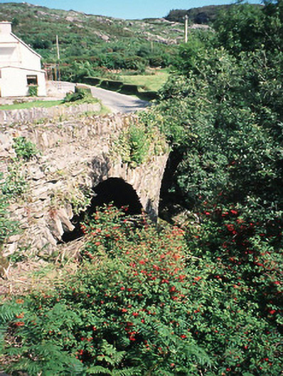 Morley's Bridgebridge · 2.6 mi
 Kilgarvan Motor MuseumMuseum · 3.2 mi
 Battle of Callannbattle · 3.4 mi
 European ashEuropean ash · 3.7 mi
 Great Southern & Western RailwayMemorial · 3.7 mi
 Gougane BarraValley and heritage place · 3.8 mi
 Castle (Site of)Castle, unclassified · 4.9 mi