What is recorded here
Situated on a slight S-facing slope, just below summit of hillock, at N base of Benbulbin Mountain in upland pasture. Oval-shaped hollow (dims. 5m E-W; 4.5m N-S; D 0.2m) enclosed by a row of moss-covered rubble limestone blocks (av. dims. 0.3m by 0.3m; H 0.2m). A break (Wth 0.6m) in the row of stones at NW with a rectangular upright jamb (0.25m by 0.25m; H 0.85m) on the SW side marks the position of the original entrance. A possible second jamb (0.25m by 0.25m; H 0.85m), now recumbent, lies at the edge of the interior at SE.
Compiled by: Patrick F. O'Donovan
Date of upload: 21 April 2011
The monument record does not grant public access. Check the route and ask the landowner before entering private land.
- What survives
- Recorded monument
Places near here
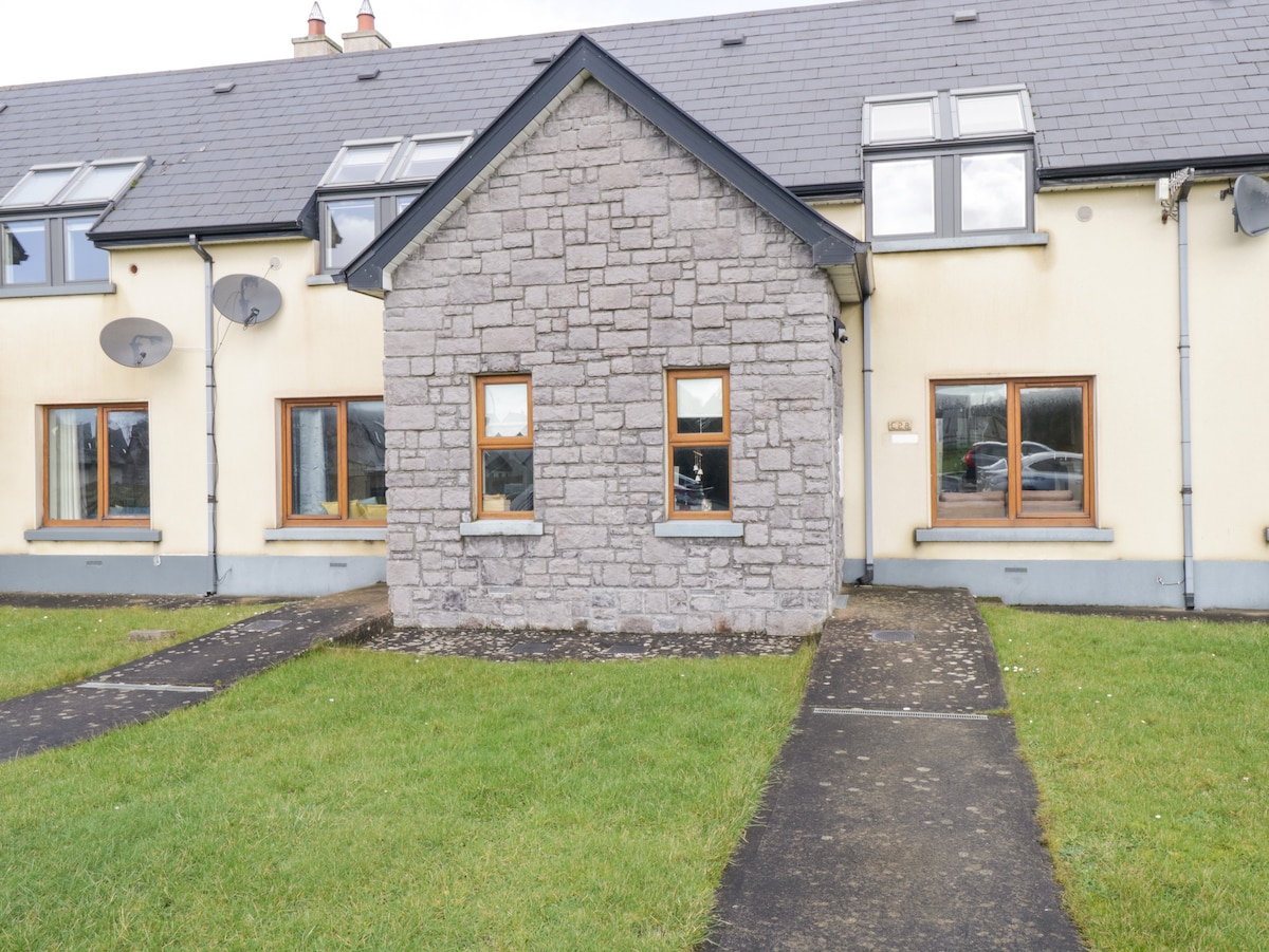 Sweathouse in BarnarobinSweathouse · 223 yd
 Structure in BarnarobinStructure · 1008 yd
 BenbulbinMountain / peak · 1216 yd
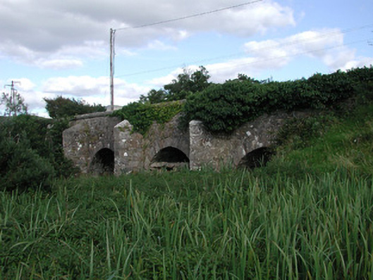 Ardnaglass Bridgebridge · 1597 yd
 BenbulbenMountain · 1737 yd
 Church (in Ruins)Church · 1.3 mi
 Benbulbin South-East TopMountain / peak · 1.4 mi
 Castle (in Ruins)Castle, unclassified · 1.6 mi
 Floods WoodForest · 2.1 mi
 Cat CornerWood · 2.3 mi
 CastleCastle, unclassified · 2.3 mi
 Dermot & Grania's BedCave · 2.7 mi
Other information
Photo: Credit not shown in the picture search · Rights wording not checked; contact us if this picture should be removed