What is recorded here
An Archaeological Survey of Ballinrobe and District (Lavelle 1994, p. 41, no. 252) records that in the centre of a cashel (MA110-085001-) there is a possible hut site (4.4m N-S; 7m E-W; H 0.5m).
The monument record does not grant public access. Check the route and ask the landowner before entering private land.
- What survives
- Recorded monument
Places near here
 IndicatedFairy fort / stone ringfort · 2 yd
 Church (in Ruins)Church · 658 yd
 CastleCastle, unclassified · 1076 yd
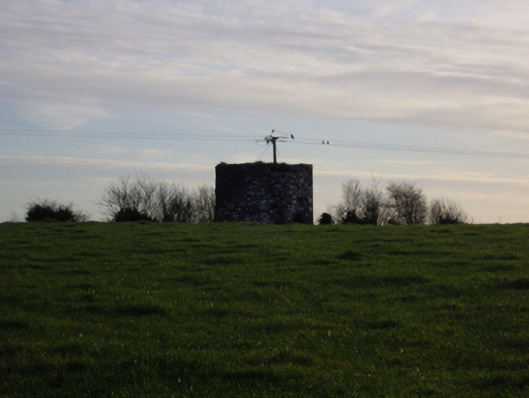 dovecote/pigeon house/aviarydovecote/pigeon house/aviary · 1401 yd
 Dormbeg Island NorthIslet · 1.2 mi
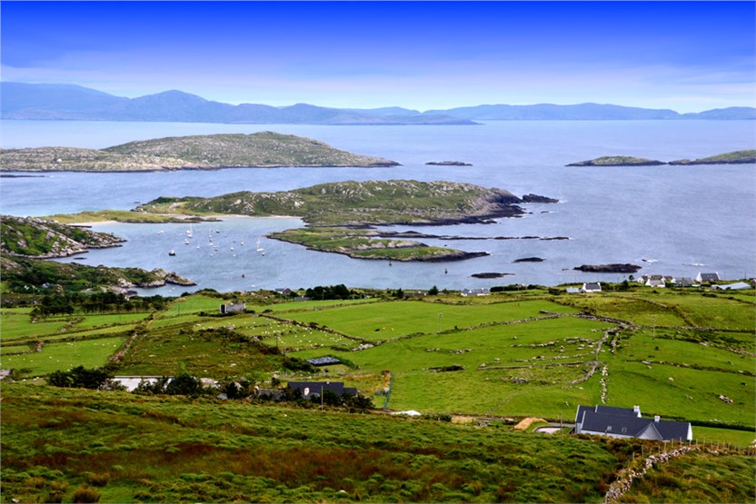 illanatrim islandIslet · 1.2 mi
 Castle (in Ruins)Castle, tower house · 1.7 mi
 EnclosureEnclosure, large enclosure · 2.1 mi
 SycamoreSycamore · 2.2 mi
 Kiltoom PointHeadland · 2.7 mi
 Moore Hall ForestForest · 3.0 mi
 Moore Hall Forest TrailWalking route · 3.1 mi