What is recorded here
On a ridge above the Groody River, a circular hut measured 7.7 metres across and stood beside a castle and corn kiln during the 1200 to 1400 period. A shallow trench marked its wall line, while a gap in the east side revealed the entrance. The excavator later called it a barn, suggesting people stored grain or sheltered animals near the defensive earthworks. The marsh below and the road above have since buried that domestic clarity.
On a ridge above marshy ground 50m S of the Groody River. An archaeological excavation discovered a previously unrecorded medieval barn or hut site 10m E of a contemporary earthen ringwork castle (LI005-080----) and 5m W of a contemporary corn drying kiln (LI005-100----). The sites were discovered in advance of the construction of the Limerick Southern Ring Road (Bermingham et al. 2013; Collins & Cummins 2001). The circular hut site (LI005-101----) was 7.7m in diameter and was defined by a shallow slot trench encircling the internal floor of the building. The entrance was identifiable as a break in the east side of the slot-trench. The structure was morphologically very similar to the hut sites excavated within the ringwork castle (LI005-080----) and dates from c. AD 1200-1400. It was later interpreted as a barn by the excavator.
Compiled by: Edmond O’Donovan
Date of upload: 15 July 2020
The monument record does not grant public access. Check the route and ask the landowner before entering private land.
- What survives
- Recorded monument
Places near here
 Ballysimon WellHoly well · 136 yd
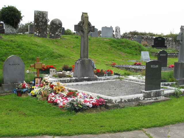 Grave YardGraveyard · 226 yd
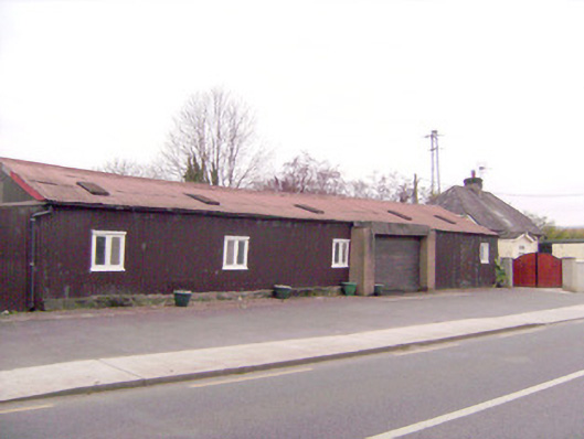 ballroom/dance hall/discoballroom/dance hall/disco · 272 yd
 MillWater mill, unclassified · 293 yd
 Tooreen Castle (in ruins)Castle, tower house · 1.3 mi
 New CastleCastle · 1.5 mi
 University of Limerick FlagpostsHeritage attraction · 1.7 mi
 Campus MapVisitor information · 1.9 mi
 Visitor CentreVisitor information · 1.9 mi
 Fountain SculptureHeritage attraction · 1.9 mi
 Jackie PowerMemorial · 2.0 mi
 St. Patrick's WellSpring · 2.0 mi