What is recorded here
Situated on a low ridge of ground running N-S with good views to W and NW but limited by higher ground on other sides. Ballynascarry House located 770m to E and similar tree-lined earthwork (WM001-013----) located 480m to N. Depicted as a designed landscaped tree-ring on all editions of the OS maps and not as an antiquity. Ringfort (WM001-012---) which was converted into a tree-ring in the post-1700 period possibly by the occupants of Ballynascarry House. A rectangular depression (dims. 5m NE-SW x 8m NW-SE) in the centre of the ringfort (WM001-012----) which is defined by loose stones may represent the remains of a house site.
Compiled by: Frank Coyne and Caimin O'Brien
Date of upload: 15 November 2016
The monument record does not grant public access. Check the route and ask the landowner before entering private land.
- What survives
- Recorded monument
Places near here
 OutlinedFairy fort / earthen ringfort · 1 yd
 Tullystown Househouse · 452 yd
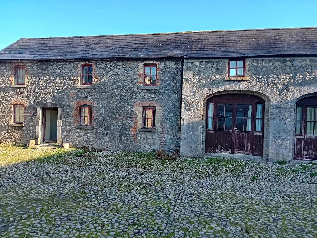 Bawn in TullystownBawn · 501 yd
 Ballynascarry Housefarm house · 876 yd
 IndicatedFairy fort / earthen ringfort · 944 yd
 MullaghmeenMountain / peak · 1.1 mi
 CastleCastle, motte · 1.2 mi
 Fox CovertForest · 1.3 mi
 Ross BayBay · 1.5 mi
 Mullaghmeen White WalkWalking route · 1.5 mi
 Muldarry PointHeadland · 1.6 mi
 Inchicup IslandIslet · 1.8 mi