What is recorded here
In pasture, beside the rocky seashore on the SE-facing slopes of a small island, Ilanebeg, overlooking Dursey Sound. The sod-covered remains of a rectangular hut site (4.4m NW-SE; 3.4m NE-SW) defined by an earthen bank (Wth 0.8m; H 0.1m) at the SW and NW sides with only traces of the bank remaining at the SE and NE sides. Another hut site (CO126-030004-) is c. 10m to the NE. (Breen 2003b; 2006, 36)
The above description is derived from 'The Archaeological Inventory of County Cork. Volume 5' (Dublin: Stationery Office, 2009).
Date of upload: 22 December 2009
The monument record does not grant public access. Check the route and ask the landowner before entering private land.
- What survives
- Recorded monument
Places near here
 Hut site in BallynacallaghHut site · 38 yd
 Fort (in Ruins)Castle, unclassified · 86 yd
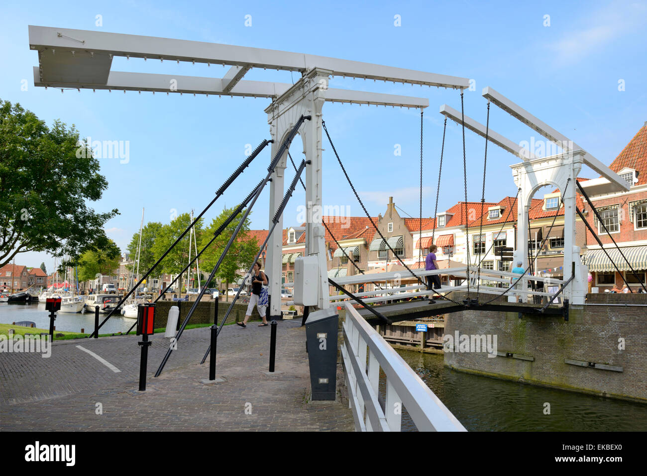 Draw Bridge (Site of)Bridge · 153 yd
 Chapel (in Ruins)Church · 229 yd
 Dursey IslandVisitor information · 641 yd
 Dursey Cable CarHeritage attraction · 827 yd
 Signal Station FlagstaffRuins · 1577 yd
 TranaduileasgBeach / strand · 1.4 mi
 Garnish StrandBeach / strand · 1.4 mi
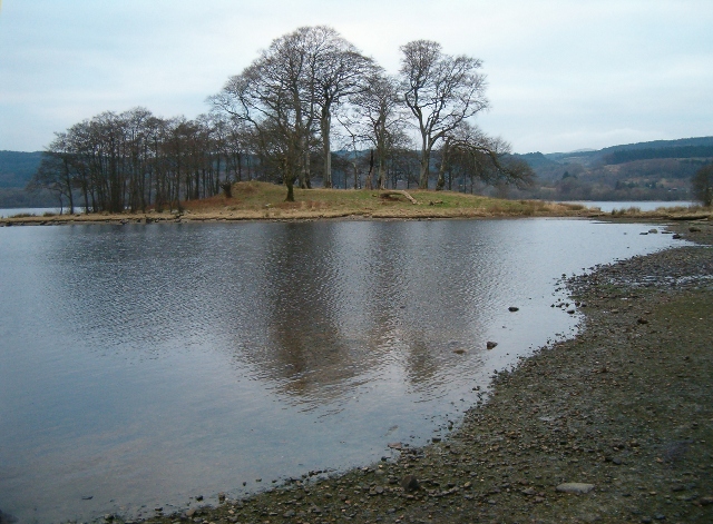 Crow IslandIslet · 1.4 mi
 Little IslandIslet · 1.6 mi
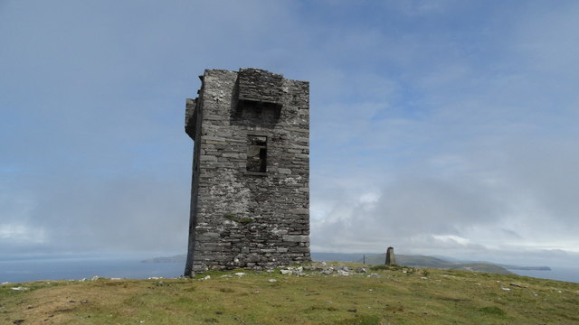 Cnoc BólaisMountain / peak · 2.0 mi