What is recorded here
Hut site in Ballyfaris is a hut site in Ballyfaris, County Sligo, Ireland. It occupies the east half of a rath interior as a square or subrectangular area measuring 5.3 metres north-south and 5 metres east-west. A low earth and stone bank, 1.9 metres wide and 0.35 metre high, defines the south, west and north sides. The east side shows an abrupt drop of 1 to 1.5 metres where ground appears dug away.
At a rath (SL012-077001-). In the E half of the rath interior is a hut site. It consists of a square or subrectangular area (5.3m N–S; 5m E-W) defined on the S, W and N sides by a low bank (Wth 1.9m; H 0.35m) of earth and stone. Adjoining the N side, and sharing its bank on that side, is a second hut site (SL012-077002-). The E side of both hut sites appears to have been dug away, leaving an abrupt drop in ground level of c. 1-1.5m on that side.
Compiled by: Patrick F. O'Donovan
Date of upload: 19 January 2011
The monument record does not grant public access. Check the route and ask the landowner before entering private land.
- What survives
- Recorded monument
Places near here
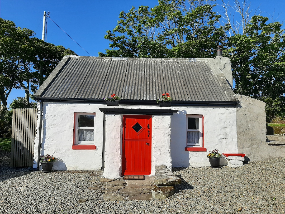 Hut site in BallyfarisHut site · 8 yd
 Enclosure in BallyfarisEnclosure · 131 yd
 Fortlaurel Househouse · 992 yd
 Templeboy Church (in Ruins)Church · 1.1 mi
 Aughris BeachBeach / strand · 1.4 mi
 Dunmoran StrandBeach / strand · 1.8 mi
 Aughris HeadHeadland · 1.8 mi
 CastleCastle, unclassified · 2.1 mi
 Knockalongy North-East TopMountain / peak · 3.6 mi
 DonaghHeadland · 3.7 mi
 KnockalongyMountain / peak · 3.9 mi
 Bawn in CarrowbrickeenBawn · 4.2 mi