What is recorded here
A booley hut was levelled during land reclamation in 1966(Healy 1975). It was located on what is reclaimed pasture which falls SE to the Glencullen River Valley (Healy 1975, 1-19). There are no visible remains of this hut site.
Compiled by: Geraldine Stout and Padraig Clancy.
Revised upload on: 15 April 2018.
This remains an important historical record, but the official description says the monument is no longer visible or has been destroyed. The monument record does not grant public access. Check the route and ask the landowner before entering private land.
- What survives
- No visible remains or recorded as destroyed
Places near here
 Cairn (site of)Megalithic tomb · 382 yd
 IndicatedEnclosure · 429 yd
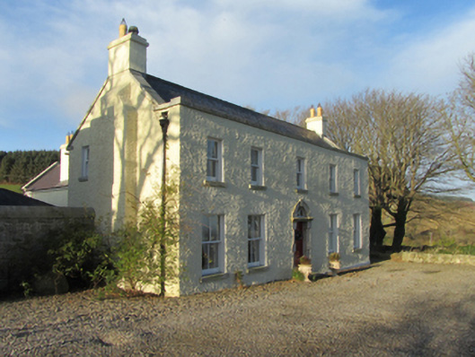 Ballybetagh Housefarm house · 446 yd
 Ballybetagh WoodForest · 562 yd
 Verneyfarm house · 921 yd
 Barnaslingan HillMountain / peak · 1694 yd
 Barnaslingan - Scalp Lookout TrailWalking route · 1.1 mi
 Barnaslingan - Pine loop trailWalking route · 1.1 mi
 Ballycorus castle Site ofCastle, tower house · 1.2 mi
 Dingle GlenNature reserve · 1.4 mi
 Carrickgollogan HillMountain / peak · 1.8 mi
 Puck's CastleCastle · 1.9 mi
Other information
Photo: Credit not shown in the picture search · Rights wording not checked; contact us if this picture should be removed