What is recorded here
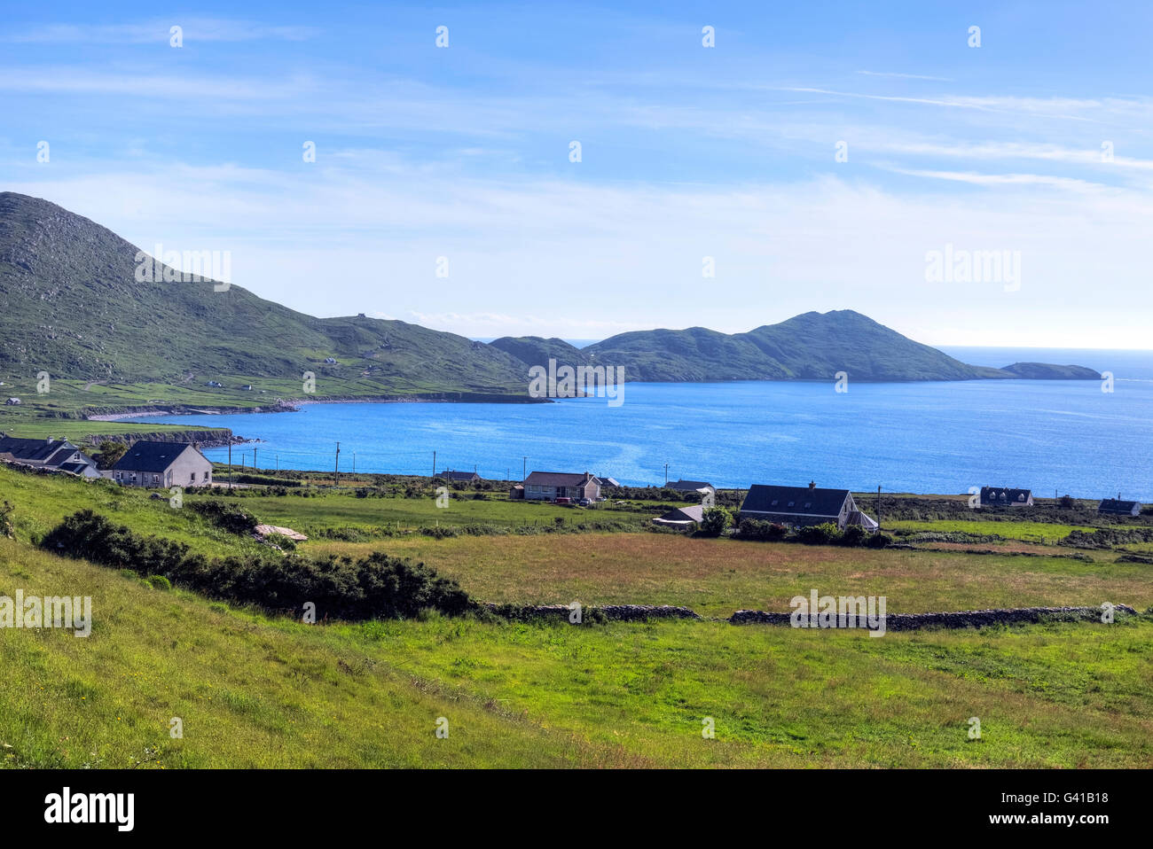
One large boulder still holds the west wall of the oval hut, while flat stones as wide as a man’s outstretched arms lie scattered across the stoney patch. The opening may face northeast toward Ballinskellig Bay, giving the small shelter a clear view across the water. Above and below the hut, old walls appear on ledges along the north face of Beenarourke mountain, as if the slope once belonged to several hidden rooms.
Along the N face of Beenarourke mountain with commanding views towards Ballinskellig Bay on small level patch of rough stoney ground. Remains of dry stone hut with some parts overgrown. Oval hut site measuring c. 2.9m by 2.2m, with large natural boulder forming part of W side. Opening possibly facing NE stones employed in construction are large, (up to 0.8m) flat stones. The area above and below has numerous small ledges with remains of old walls in many places. Loher stone fort (KE106-015----) clearly visible.
Compiled by: Caimin O'Brien based on details provided by John Loesberg
Date of upload: 27 September 2022
The monument record does not grant public access. Check the route and ask the landowner before entering private land.
- What survives
- Recorded monument
Places near here
 Megalithic structure in BailínMegalithic structure · 340 yd
 Binn Uí RuaircMountain / peak · 385 yd
 IndicatedFairy fort / stone ringfort · 433 yd
 Com An ChisteViewpoint · 477 yd
 Church in An LótharChurch · 1038 yd
 Cnoc an StocaMountain / peak · 1507 yd
 Hog's Head Signal TowerRuins · 1.2 mi
 Lamb's IslandIslet · 1.5 mi
 Derrynane Bay Beach / Trá Bhá Doire FhionáinBeach / strand · 1.8 mi
 Páirc Náisiúnta Stairiúil Dhoire Fhíonáin / Derrynane National Historic ParkNature reserve · 1.9 mi
 Abbey IslandIslet · 2.0 mi
 Derrynane House / Teach Dhoire FhionáinHeritage attraction · 2.0 mi