What is recorded here
KE052-049---- is located in rough mountain terrain, on a SW facing slope overlooking Ventry Harbour. It is comprised of a well-preserved Man-made underground passage and 2 hut sites enclosed by the very fragmentary remains of a possible cashel wall.
Huts: The 2 huts are conjoined with each other and lie in a rough N-S line about 5m to ESE of the Man-made underground passage entrance. The S hut consists of a circular depression measuring 5.4m in diameter and c. 0.8m in depth. This is surrounded by a slight stony bank, 1.6m wide and .4m high externally. The entrance must have been located in the W sector where the bank is non-existent and the external ground level only slightly higher than the interior. The N hut consists of an oval hollow measuring 5.9m NW-SE x 4.9m NE-SW. The depression is up to 1.25m deep and is lined with drystone walling. It is open along the SW and W sectors i.e. from S to NW.
The above description is derived from J. Cuppage, ‘Corca Dhuibhne. Dingle Peninsula archaeological survey. Ballyferriter. Oidhreacht Chorca Dhuibhne’ (1986), no. 544. In certain instances the entries have been revised and updated in the light of recent research.
Date of upload: 7 August 2013
The monument record does not grant public access. Check the route and ask the landowner before entering private land.
- What survives
- Recorded monument
Places near here
 Fairy fort / earthen ringfort in An Clochán (tc Na Gleannta)Fairy fort / earthen ringfort · 489 yd
 Enclosure in Ceathrúin An Phúca,móin An FhraoighEnclosure · 617 yd
 An Chathair AirdMountain / peak · 1512 yd
 Site of Ballingolin CastleArchaeological place · 1.3 mi
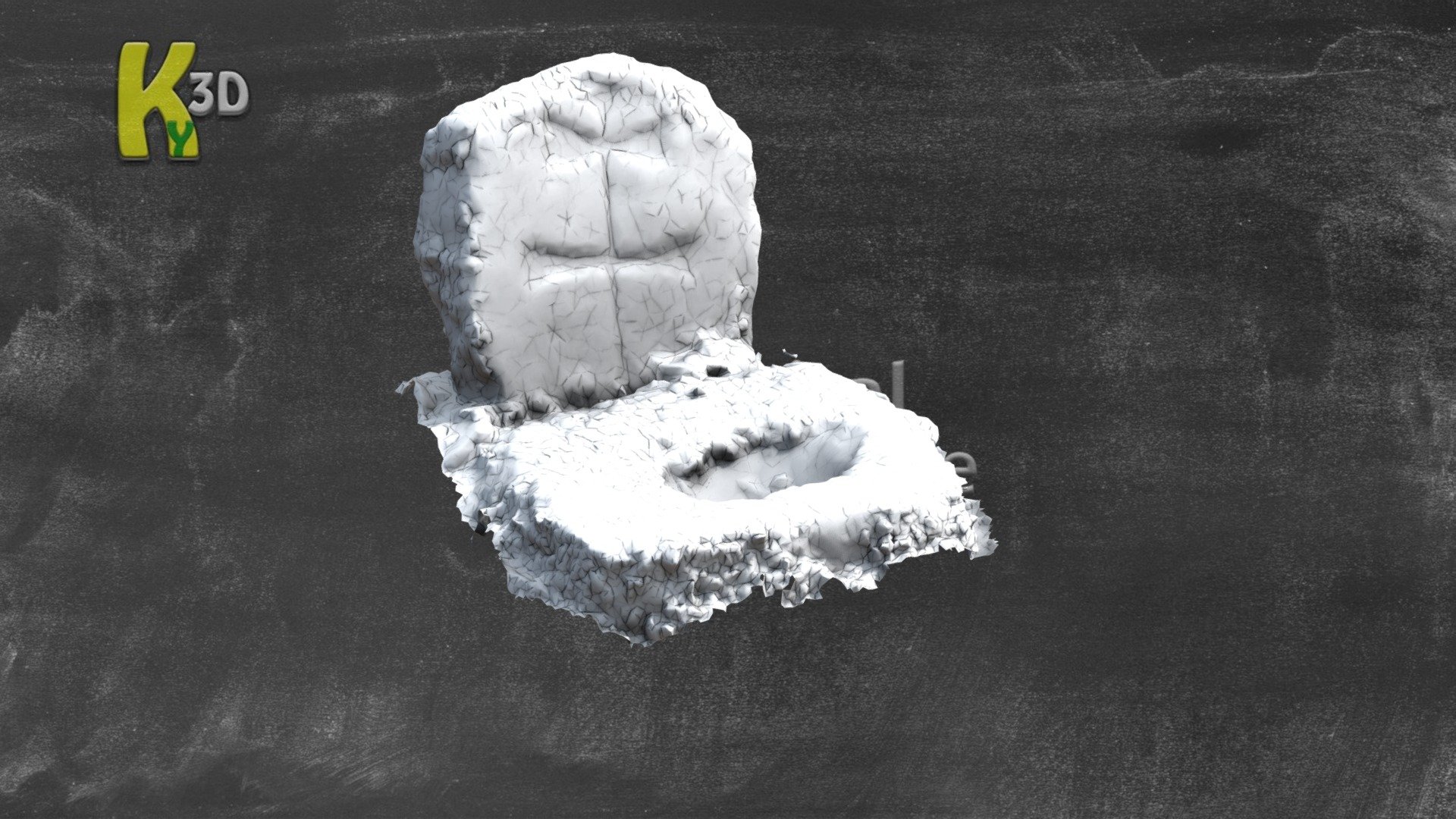 CastleCastle, unclassified · 1.3 mi
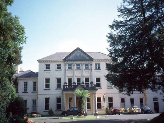 Coláiste Ídecountry house · 1.4 mi
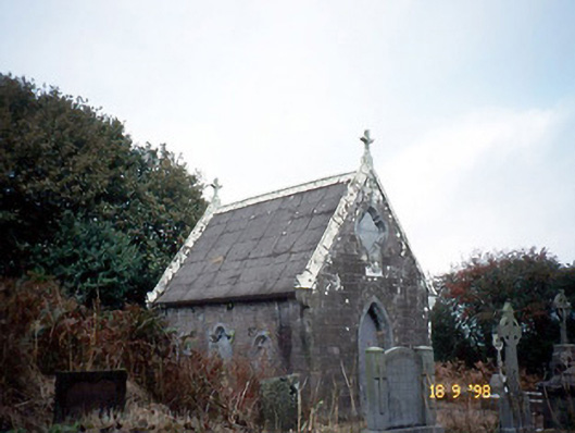 Reilig Ráithín Uí Bhuaigh [Reheenyhooig Graveyard]mausoleum · 1.5 mi
 Trá Ciarán BeachBeach / strand · 1.6 mi
 Binn BreacMountain / peak · 2.0 mi
 Dingle Marina Dive CentreHeritage attraction · 2.6 mi
 Memorial to all who lost their lives in our seas.Memorial · 2.6 mi
 Charles HaugheyMemorial · 2.7 mi
Other information
Photo: Credit not shown in the picture search · Rights wording not checked; contact us if this picture should be removed