
What is recorded here
Internal diam. 21.3m N-S, 29m E-W
The univallate enclosure marked on the OS maps is now reduced to an oval area of bare ground surrounded by a band of soil strewn with small stones. This latter is a maximum of 5m wide. A smaller oval area in the centre is similarly defined and is all that remains of a hut measuring 7m E-W x 4.75m N-S internally. There is a 2 to 2.75m wide entrance gap in the S side of the latter. On an aerial photograph taken in 1949 (Ministry of Defence, V. 158/102), this site appears as an oval enclosure with a single bank and fosse. It lies at the E end of a low ridge overlooking Dingle Harbour. (see KE052-050----)
The above description is derived from J. Cuppage, ‘Corca Dhuibhne. Dingle Peninsula archaeological survey. Ballyferriter. Oidhreacht Chorca Dhuibhne’ (1986), no. 725. In certain instances the entries have been revised and updated in the light of recent research.
Date of upload: 7 August 2013
The monument record does not grant public access. Check the route and ask the landowner before entering private land.
- What survives
- Recorded monument
Places near here
 Man-made underground passage in Ceathrúin An PhúcaMan-made underground passage · 323 yd
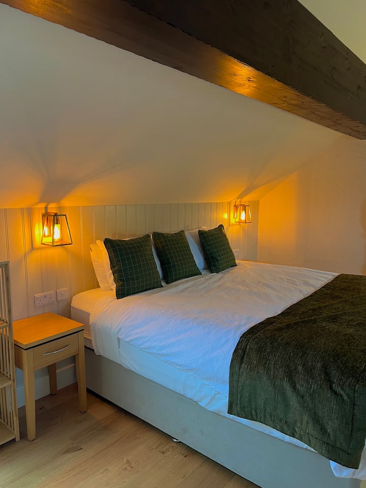 Hut site in Baile Mór ThiarHut site · 617 yd
 An Chathair AirdMountain / peak · 1653 yd
 Site of Ballingolin CastleArchaeological place · 1.1 mi
 CastleCastle, unclassified · 1.1 mi
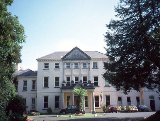 Coláiste Ídecountry house · 1.2 mi
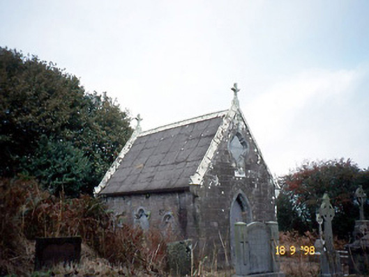 Reilig Ráithín Uí Bhuaigh [Reheenyhooig Graveyard]mausoleum · 1.4 mi
 Binn BreacMountain / peak · 1.8 mi
 Trá Ciarán BeachBeach / strand · 1.9 mi
 Dingle Marina Dive CentreHeritage attraction · 2.3 mi
 Memorial to all who lost their lives in our seas.Memorial · 2.3 mi
 Charles HaugheyMemorial · 2.4 mi
Other information
Photo: Credit not shown in the picture search · Rights wording not checked; contact us if this picture should be removed