What is recorded here
No visible trace remains of the hut beside Baile An Ásaigh, though that absence does not exclude one. The valley already carried people, traffic and memory when the wider town took shape. A small dwelling may have stood there, giving up its identity after it stopped resisting rain, feet and time.
Univallate rath KE043-227---- is situated on the E slopes of the valley that extends NE from Dingle town.
An irregular hollow, abutting the bank at NNE, may be the remains of a hut-site KE043-227001-. It is c. 3.5m in diameter and its floor lies .56m below the general level of the interior. It is enclosed by a low bank, .2m high.
The above description is derived from J. Cuppage, ‘Corca Dhuibhne. Dingle Peninsula archaeological survey. Ballyferriter. Oidhreacht Chorca Dhuibhne’ (1986), no. 295. In certain instances the entries have been revised and updated in the light of recent research.
Date of upload: 6 August 2013
The monument record does not grant public access. Check the route and ask the landowner before entering private land.
- What survives
- Recorded monument
Places near here
 An ChorrMountain / peak · 665 yd
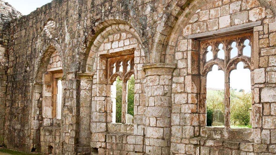 Settlement desertedSettlement deserted, medieval · 874 yd
 Man-made underground passage in Baile An ÁsaighMan-made underground passage · 1007 yd
 Saint James's Church (Dingle)church/chapel · 1.2 mi
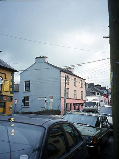 The Bridge Househouse · 1.2 mi
 Castle (Site of)Castle, tower house · 1.3 mi
 Caol Cronin - SeascapesGallery · 1.3 mi
 Ballintaggart Ogham StonesVisitor information · 1.6 mi
 Charles HaugheyMemorial · 1.6 mi
 Dingle Marina Dive CentreHeritage attraction · 1.7 mi
 Memorial to all who lost their lives in our seas.Memorial · 1.7 mi
 10Cliff · 2.0 mi