What is recorded here
Two phases of Early Medieval activity are recorded in the area of the rectilinear enclosure. Structure 2 is a circular hut-site (int. diam. c. 5m) defined by a curving slot-trench (L 7.25m; Wth 0.25-0.5m; max. D 0.18m), most of which is within the excavated area. One post-hole was inside a wide entrance gap (Wth 2.1m) at SSE. Structure 1 was located just S of Structure 2 and is largely outside the excavated area to the SW but is thought to be later than Structure 2. It was represented by the arcs of slot-trenches of a circular hut-site (diam. c. 6m) with a wide entrance (Wth c. 2.3m) at NE, which is adjacent to the entrance to Structure 2. The entrance has a porch wall extending outwards (L 2.5m) on the E side. A sample from the S curving slot-trench provided a C14 date of Cal. AD 551-643 (UBA-8092), making the hut-sites contemporary with the burial ground (ME025-078----), c. 80m to the WSW.
See the attached plans from Hession (_01, _02) (2009, figs 5, 6) and McQuade (_03) (2007, fig. 5)
Compiled by: Michael Moore
Date of upload: 31 March 2023
Hession, J. 2009 Final Archaeological Report for the multiphase archaeological landscape preserved in situ at IDA Business and Technology Park, Dublin, Rd., Navan, Co. Meath. Licence: 07E0892. Unpublished report, Margaret Gowen & Co.
McQuade, M. 2007 Archaeological Monitoring and Excavation, Athlumney, Co. Meath. Licence: 97E0322ext. Unpublished report, Margaret Gowen & Co.
The monument record does not grant public access. Check the route and ask the landowner before entering private land.
- What survives
- Recorded monument
Places near here
 Enclosure in AthlumneyEnclosure · 77 yd
 Field boundary in AthlumneyField boundary · 148 yd
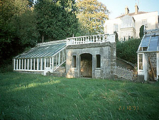 Boyne View Housesummerhouse · 396 yd
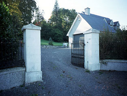 Belmount Housegates/railings/walls · 678 yd
 CastleCastle, motte · 1109 yd
 The RampartWood · 1652 yd
 Blackcastle DemesneWood · 1.7 mi
 Carn HillMountain / peak · 1.8 mi
 Donaghmore Round TowerHeritage attraction · 1.9 mi
 Nangle CourtMemorial · 1.9 mi
 Assey CastleCastle, tower house · 3.6 mi
 BohermeenMountain / peak · 4.5 mi