What is recorded here
Inside the ancient rath at Annaglogh, a small circular hut platform survives with a narrow southwest entrance. The compact shape suggests a private shelter or storage space hidden within a larger defensive earthwork. A person may have moved through that tiny opening to tend flames, preserve food or simply escape the storm. The drumlin crest still holds the footprint of that quiet domestic life.
Located at the crest of the W-facing slope and towards the S end of a NNW-SSE drumlin ridge. At the centre of rath (MO015-001001-) are the foundations of a subcircular hut-site (dims 4.4m NE-SW; 4.1m NW-SE) defined by a low bank (Wth 1.5-2m; H 0.3-0.5m) with an entrance (Wth 0.5m) at SW.
Compiled by: Michael Moore
Date of revised upload: 26 February 2018
The monument record does not grant public access. Check the route and ask the landowner before entering private land.
- What survives
- Recorded monument
Places near here
 Blackquarter fortFairy fort / earthen ringfort · 5 yd
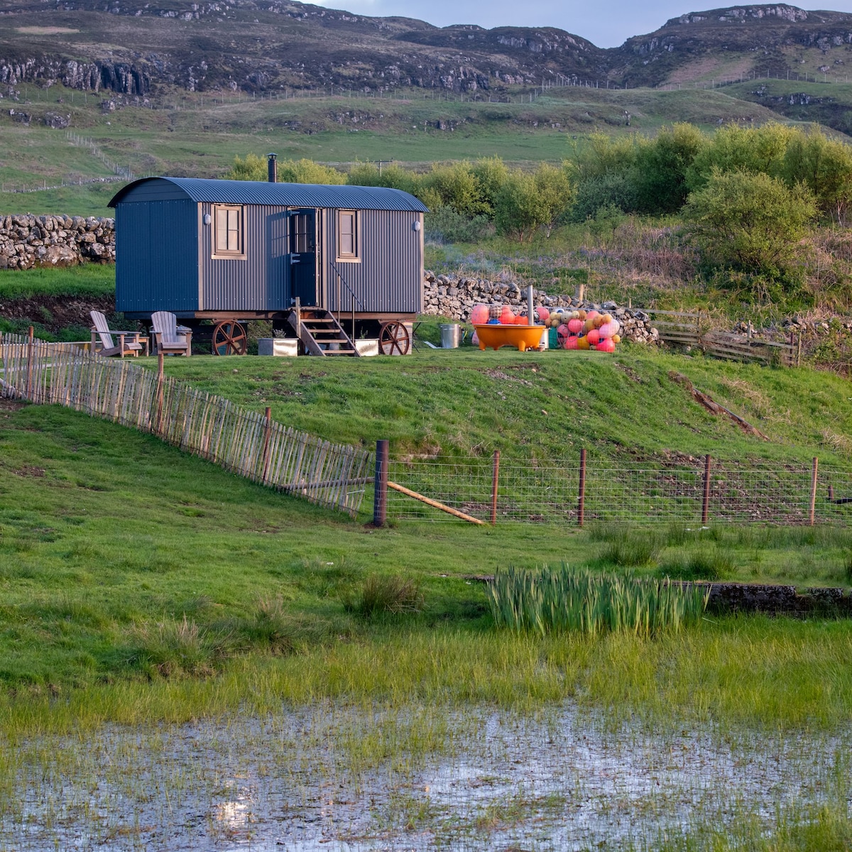 Hut site in AnnagloghHut site · 13 yd
 Church in CroaghanChurch · 1.2 mi
 Monaghan WayWalking route · 1.2 mi
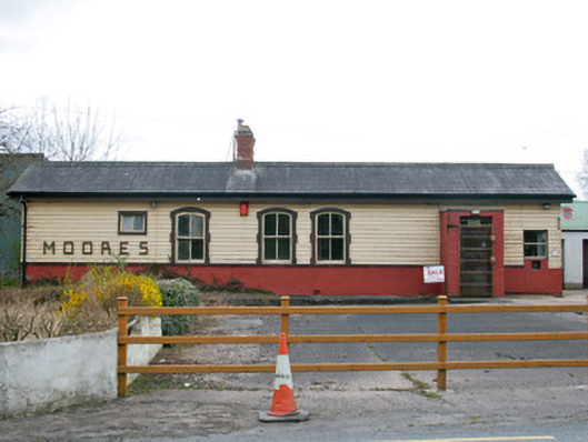 Creaghanroe Railway Stationrailway station · 1.4 mi
 Battle of ClontibretBattlefield · 3.3 mi
 Mullyash MountainMountain / peak · 3.7 mi
 John Francis GreenMemorial · 4.1 mi
 Harper's IslandIslet · 4.6 mi
 Keady MonumentMemorial · 4.7 mi
 Garmany's IslandIslet · 4.8 mi
 Keady GlenForest · 4.8 mi