What is recorded here
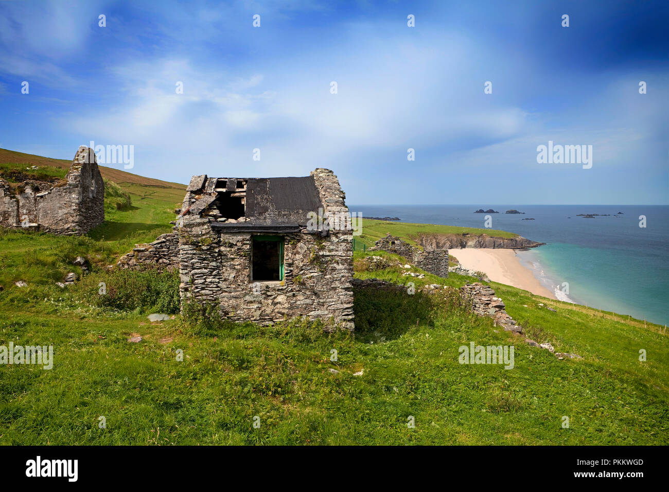
In rough hill pasture, on a terrace and within a field system (KE076-005005-). The remains of an oval hut (2.5m N-S; 1.4m E-W) defined by the lower courses of a drystone wall (T 0.6m; H 0.6m). The wall is best preserved along the inner face SE-W. The outer face is obscured by collapse from the upper reaches of the wall. There is a spill of loose stones to the S. The S portion of the interior is raised slightly at S and cut slightly into the upslope at N to compensate for the hillslope.
Compiled by: Elizabeth Byrne, Ursula Egan and Sheila Ronan, Archaeological Survey Unit, University College, Cork.
Date of upload: 31 January 2011
The monument record does not grant public access. Check the route and ask the landowner before entering private land.
- What survives
- Recorded monument
Places near here
 Hut site in Annagh MoreHut site · 85 yd
 SheepfoldEnclosure · 172 yd
 CoolcurtogaMountain / peak · 1409 yd
 Killeen MountainMountain / peak · 1.1 mi
 Clydagh Br.Bridge · 1.6 mi
 Poulgorm Br.Bridge · 1.7 mi
 Killaha Castle (in Ruins)Castle, tower house · 3.1 mi
 BarraduffMemorial · 3.7 mi
 Hidden Valley Pet FarmHeritage attraction · 6.8 mi
 Nohaval WoodWood · 7.9 mi
 Torc WaterfallWaterfall · 7.9 mi
 Monterey CypressMonterey Cypress · 8.0 mi