What is recorded here
Clear water cut the red rock into a shelf where human hands later stacked angle and shadow. The west gap still stands like a mouth waiting to answer, while the north chamber holds its breath beneath a roof of fitted stone. Darrynane Bay lights the entrance at dusk, returning whatever heat the huts kept from daytime storms.
Situated on a natural terrace on the S slopes of Farraniaragh, overlooking Darrynane Bay to S. Two drystone huts within an old field system KE106-039001-. One field wall features a prominent gap defined by a pair of opposed slabs towards the W end of the complex.
(2) KE106-039002-; At the N end of the complex, a subcircular corbelled hut built into the slope. The wall survives best at N, and upright slabs revet the S side. Possible entrance at SE. D: 4.1m x 3.7m. H: 1.2m. A dense concentration of stone occurs adjacent at E. Its function is unclear. Overall dimensions: 3.9m x 3.4m.
The above description is derived from A. O'Sullivan and J. Sheehan (compilers), 'The Iveragh peninsula: an archaeological survey of South Kerry'. Cork University Press (1996), no. 1267. In certain instances the entries have been revised and updated in the light of recent research.
Date of upload: 1 August 2013
The monument record does not grant public access. Check the route and ask the landowner before entering private land.
- What survives
- Recorded monument
Places near here
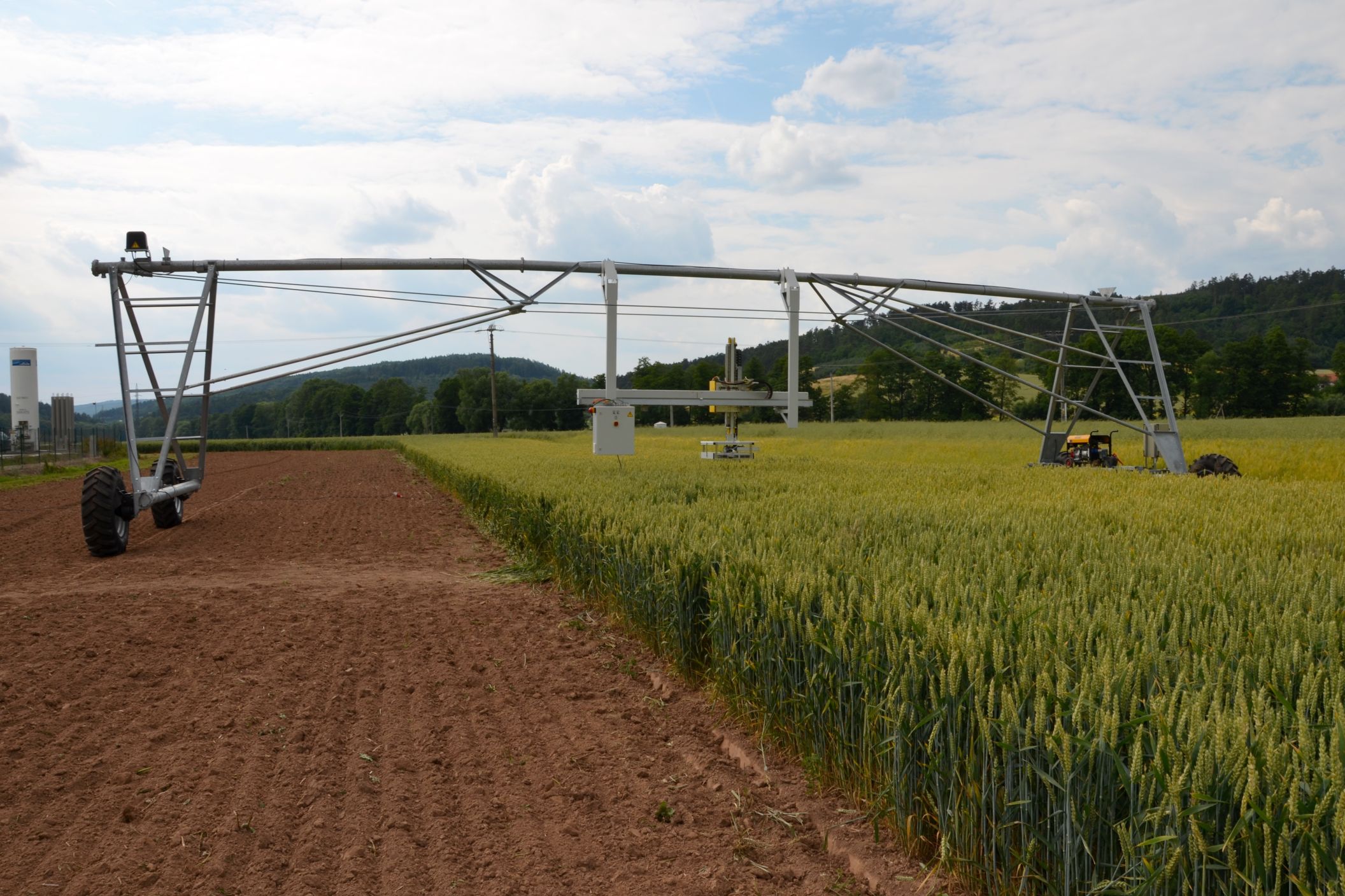 Field system in An Fearann IarthachField system · 11 yd
 Fairy fort / stone ringfort in An Fearann IarthachFairy fort / stone ringfort · 705 yd
 Farraniaragh MountainMountain / peak · 743 yd
 Com An ChisteViewpoint · 1238 yd
 Church in An LótharChurch · 1359 yd
 Binn Uí RuaircMountain / peak · 1518 yd
 Lamb's IslandIslet · 1.2 mi
 Páirc Náisiúnta Stairiúil Dhoire Fhíonáin / Derrynane National Historic ParkNature reserve · 1.3 mi
 Derrynane Bay Beach / Trá Bhá Doire FhionáinBeach / strand · 1.3 mi
 Derrynane House / Teach Dhoire FhionáinHeritage attraction · 1.4 mi
 Teach Dhoire Fhíonáin [Derrynane House]country house · 1.4 mi
 Ogham StoneVisitor information · 1.6 mi