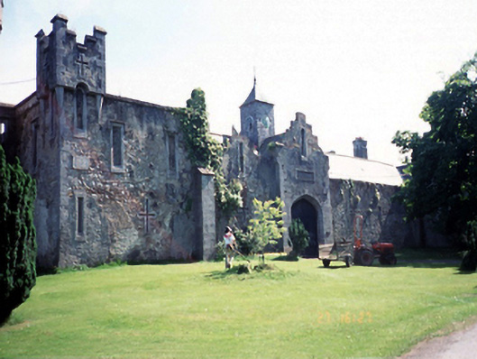
What is recorded here
Attached eighteen-bay single-storey rubble stone stable range on an L-shaped plan, c.1840, with half dormer attic and integral carriageway arches. Comprising eight-bay range to east with crenellated corner turret, ten-bay range to range with bell tower and crenellated turret.
This does not grant access. Most recorded buildings are privately owned; view them only from public ground unless the owner allows entry.
Places near here
 Church (in ruins)Chapel · 56 yd
 National Transport MuseumMuseum · 130 yd
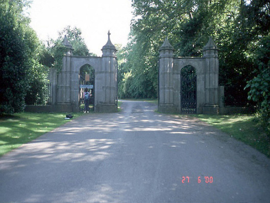 Howth Castledemesne walls/gates/railings · 196 yd
 Burial ground in Howth DemesneBurial ground · 230 yd
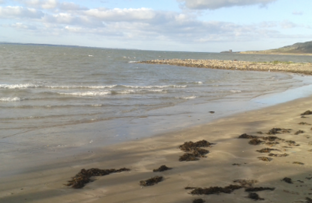 Claremont BeachBeach / strand · 527 yd
 The Ready Boat PillarMonument · 554 yd
 Howth Tourism Information KioskVisitor information · 672 yd
 The Old CourthouseHeritage attraction · 678 yd
 Wild Rhododendron GardensWood · 870 yd
 George IV's footstepsMemorial · 1088 yd
 Corr CastleCastle, tower house · 1141 yd
 Howth Cliff WalkWalking route · 1277 yd
Other information
Photo: National Inventory of Architectural Heritage · Website use allowed for educational or private purposes with source credit