What is recorded here
Scotland's National Record of the Historic Environment records Howden as Settlement (medieval). The official map says its point is accurate as follows: NGR given to the nearest 100m. The record does not by itself mean that the public may enter the place.
The historic-place record does not grant public access. Check current conditions and ownership before entering land or a building.
Places near here
 HowdenSettlement (period Unassigned) · 172 yd
 HunthillMoated Site (medieval) · 738 yd
 Jedburgh, Newcastle Road, Allerley Well Park, Gatepiers and Boundary WallGate Pier (19th Century) · 1156 yd
 Jedburgh, Newcastle Road, Inchbonny BridgeRoad Bridge (20th Century) · 1204 yd
 Canongate BridgeMemorial · 1266 yd
 Jedburgh War MemorialMemorial · 1313 yd
 Jedburgh AbbeyBoundary Wall (period Unassigned) · 1355 yd
 Sunnybraescaur PlantationForest · 1388 yd
 Jedburgh, CanongateNo Class (event) (period Unassigned) · 1396 yd
 Mary Queen Of Scots' Visitors CentreMuseum · 1397 yd
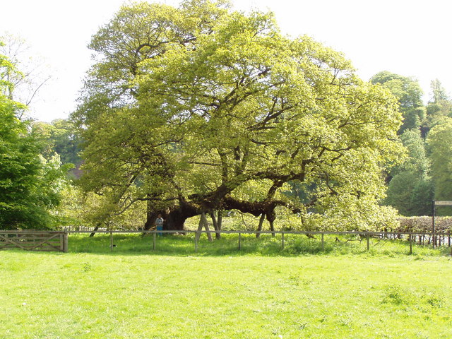 Capon TreeSessile Oak · 1509 yd
 Jedburgh, Exchange StreetNo Class (event) (period Unassigned) · 1514 yd