What is recorded here
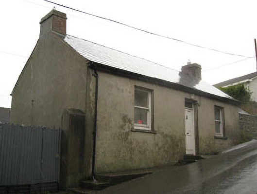
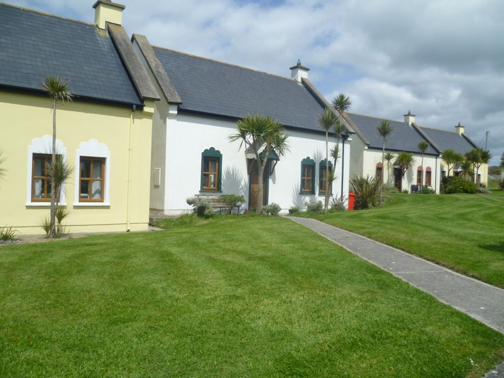
Detached three-bay single-storey house, built c.1840. Lean-to extension to side (north). Pitched artificial slate roof with rendered chimneystacks, timber clad eaves and uPVC rainwater goods. Rendered walls. Square-headed window openings having one-over-one pane timber sliding sash windows. Square-headed door opening having timber panelled door with overlight. Corrugated-iron roof and red brick walls to lean-to extension. Recent detached outbuilding to south with corrugated-iron roof. Concrete block walls incorporating earlier rubble stone boundary wall. Positioned fronting onto main road with enclosing rubble stone boundary wall, having concrete piers and corrugated-iron gate.
A simple yet attractive house occupying an isolated position on the western side of The Rock. Although modest in scale it has retained much of its early form and character and makes a positive contribution to the streetscape. The first edition Ordnance Survey map suggests that it may have originally been the house of a gardener or caretaker associated with the former orchard to the west.
This does not grant access. Most recorded buildings are privately owned; view them only from public ground unless the owner allows entry.
Places near here
 town/city wallstown/city walls · 123 yd
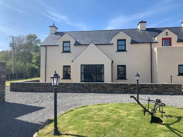 Abbey WellHoly well · 137 yd
 Abbey (in Ruins)Religious house, Carmelite friars · 143 yd
 Graveyard in Abbey-Lands, Part of (kinsale By., Ringcurran Par.)Graveyard · 201 yd
 GaolCastle, tower house · 245 yd
 Battle of KinsaleMajor battlefield · 248 yd
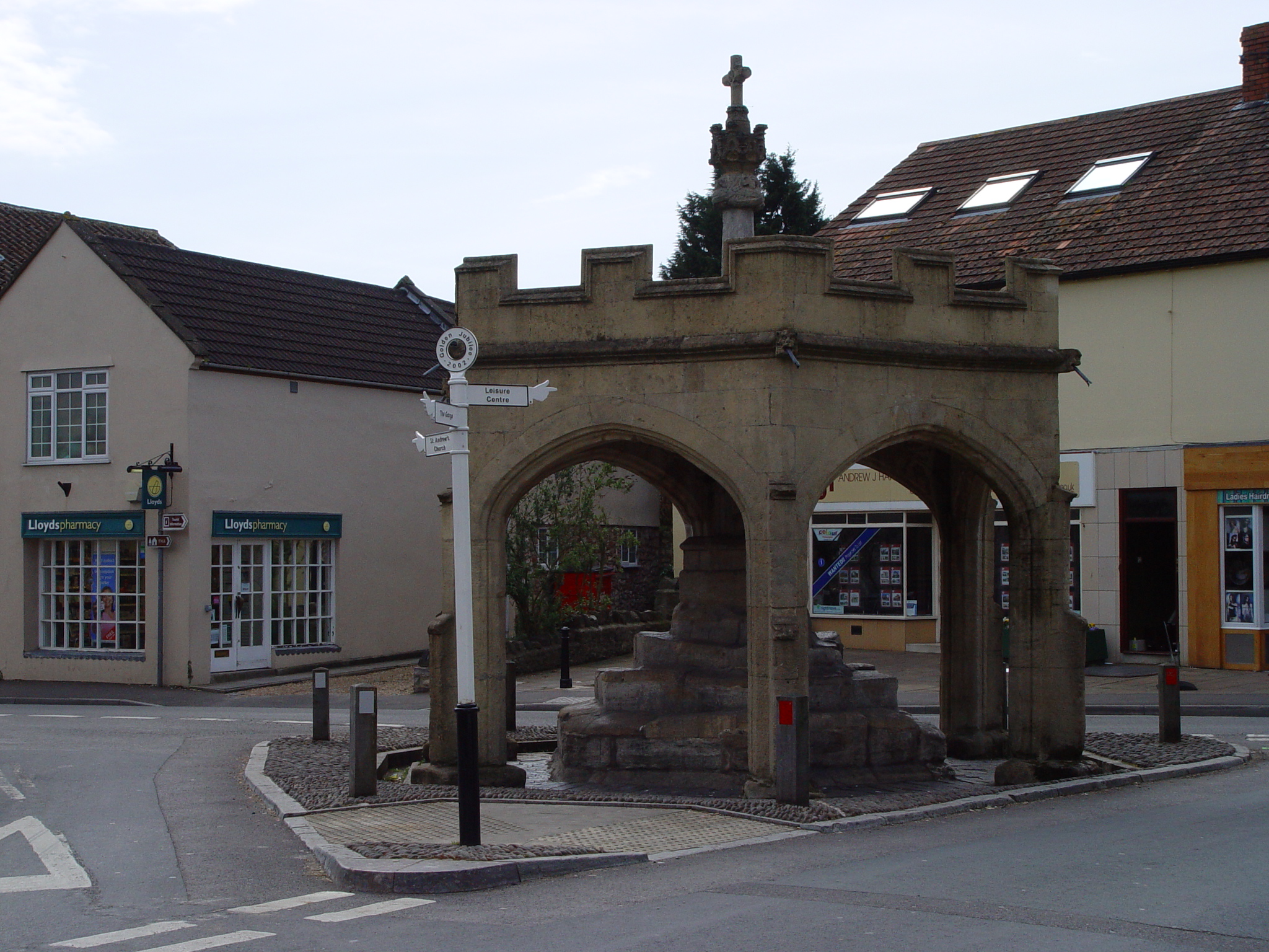 CrossCross, Market cross · 250 yd
 Kinsale Ghost ToursHeritage attraction · 319 yd
 The Tumble CartHeritage attraction · 368 yd
 James FortVisitor information · 541 yd
 Tim & Mortimer McCarthy MemorialMemorial · 698 yd
 Kinsale Alms HousesVisitor information · 784 yd
Other information
Photo: National Inventory of Architectural Heritage · Website use allowed for educational or private purposes with source credit