What is recorded here
A large house is indicated on the Down Survey (1655-6) barony map in Spurtown Lower. It has not been located.
Compiled by: Archaeological Survey Unit, UCC with revisions by Patrick F. O'Donovan and Paul Walsh
Date of upload: 20 June 2011
The monument record does not grant public access. Check the route and ask the landowner before entering private land.
- What survives
- Recorded monument
Places near here
 Fairy fort / stone ringfort in Lissananny MoreFairy fort / stone ringfort · 1011 yd
 Abbey (in Ruins)Church · 1618 yd
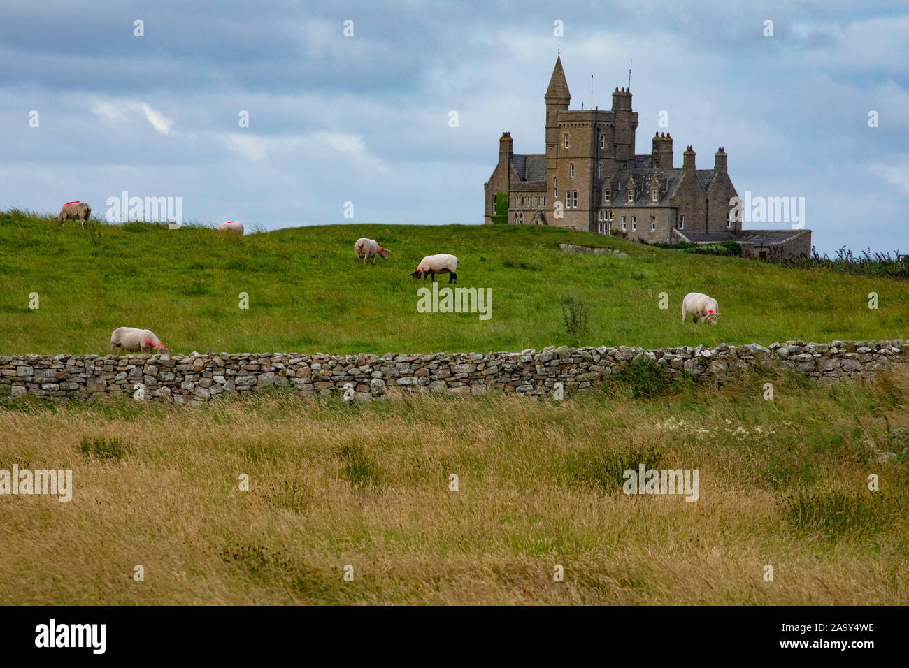 IndicatedFairy fort / earthen ringfort · 1.1 mi
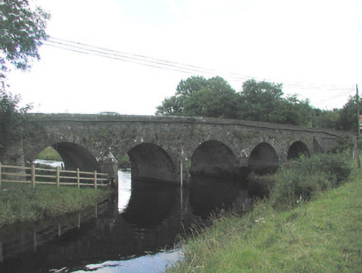 Big Bridgebridge · 1.4 mi
 Ballyfahy Castle (in Ruins)Castle, unclassified · 1.6 mi
 Ballymote CastleCastle · 2.2 mi
 Brother WalfridMemorial · 2.2 mi
 Tymon's HillMountain / peak · 2.5 mi
 Caves of KeshCave · 3.9 mi
 ElderElder · 3.9 mi
 Kesh CorannMountain / peak · 4.3 mi
 European ashEuropean ash · 4.5 mi