What is recorded here
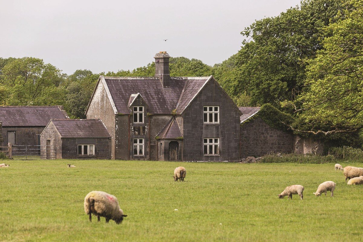
The precise location of a medieval house in the townland of Kilcurly has not been identified. Medieval chapel (LI012-068---) of 'Kilkerill' [Cill Choireallaigh/Kilcurley] shown standing to NE of a substantial dwelling with a second building to S on the 1657 Down Survey map of Kenry Barony (NLI, MS 718). The buildings depicted on the 1657 Down Survey map of Kenry Barony may be the same structure described in the 1654-56 Civil Survey of Limerick which recorded that on the lands of John Lissaght of Kilcurly there was 'one good dwelling house, ten Cottages, and one Salmon weare [LI012-155----] seate upon it' (Simington 1938, 362). It is not clear if the 10 cottages were located throughout the townland or clustered around the 'good dwelling' described in the Civil Survey. Earthworks (LI012-151----) visible on Google Earth photographs to the SW of the chapel may be the remains of these two dwellings depicted on the 1657 Down Survey map. Alternatively earthworks in the field to the N of Kilcurly chapel could be associated with the 'good dwelling house' described in the 1654-56 survey. A rectangular-shaped earthwork in the field to the N of a children's burial ground may represent the remains of a possible house site and it is tempting to identify this earthwork with the dwelling house described in the Civil Survey.
See attached 1657 Down Survey map of Kenry Barony showing dwellings to SW of Kilcurly chapel
Compiled by: Caimin O'Brien based on details provided by Dr. Rob O'Hara
Date of upload: 18 February 2020
The monument record does not grant public access. Check the route and ask the landowner before entering private land.
- What survives
- Recorded monument
Places near here
 Field system in Kilcurly (kenry By.)Field system · 167 yd
 Enclosure in Kilcurly (kenry By.)Enclosure · 185 yd
 Church (in ruins)Chapel · 567 yd
 Kilcurly Housecountry house · 615 yd
 European BeechEuropean Beech · 1.6 mi
 European YewEuropean Yew · 1.6 mi
 Desmonds Castle (in ruins)Castle, Anglo-Norman masonry castle · 1.6 mi
 Desmond CastleHeritage attraction · 1.7 mi
 Adare Desmond CastleMedieval castle · 1.7 mi
 KnocknagowerNamed rock · 1.7 mi
 Cullam CastleCastle · 1.8 mi
 Adare Tourist OfficeVisitor information · 1.9 mi
Other information
Photo: Credit not shown in the picture search · Rights wording not checked; contact us if this picture should be removed