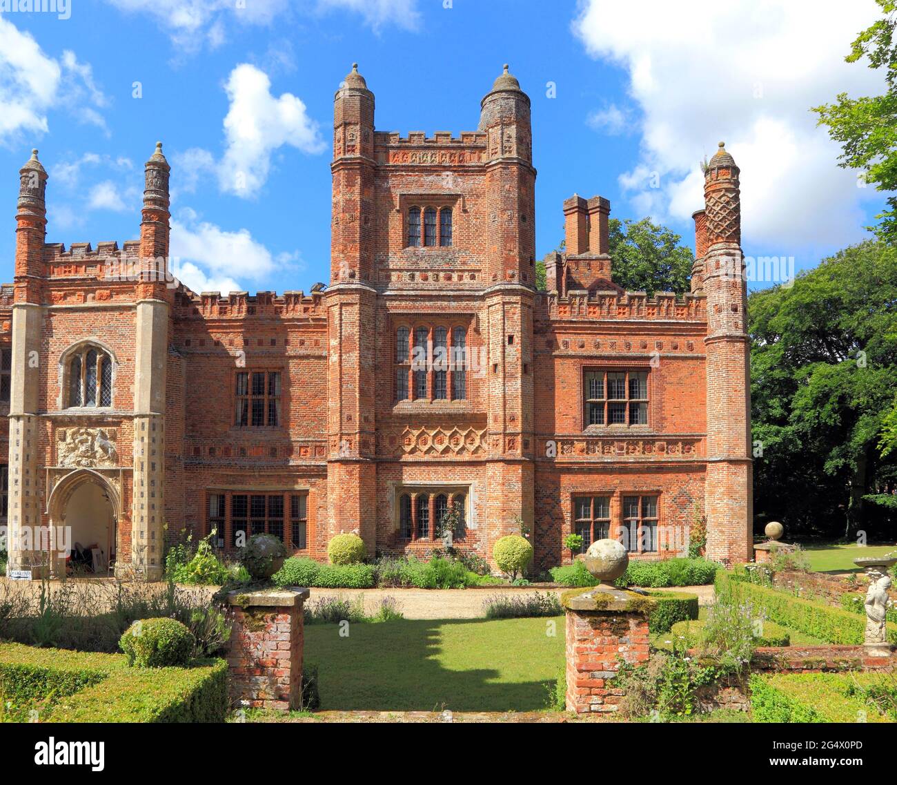
What is recorded here
The Down Survey (1655-6) map shows a dwelling at Buzzardstown near Buzzardstown House. In the second half of the 18th century the family of Flood owned Buzzardstown House-on a winter’s night in 1761 it is recorded that the gable-end of Mr Flood’s house at Mulhuddart suddenly gave way, whereby Mrs Flood and her daughter were killed. Test excavation (Licence no. 06E0184) was undertaken at the site of Buzzardstown House but archaeological remains were not located.
Compiled by: Geraldine Stout
Updated by: Christine Baker
Date of upload: 20 January 2015
The monument record does not grant public access. Check the route and ask the landowner before entering private land.
- What survives
- Recorded monument
Places near here
 MoatMound · 254 yd
 Courtduff HouseHouse, 16th/17th century · 723 yd
 IndicatedFairy fort / ringfort · 740 yd
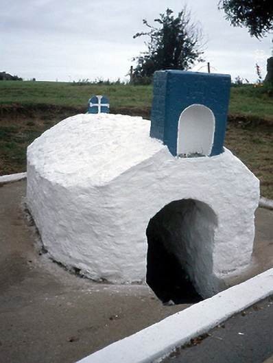 Lady's Wellholy well · 771 yd
 Graveyard in BuzzardstownGraveyard · 914 yd
 Blanchardstown Centre information deskVisitor information · 1333 yd
 TyrrelstownWood · 1740 yd
 Site of CastleCastle, tower house · 2.0 mi
 Church, GraveyardChurch · 2.0 mi
 Castleknock CastleCastle · 2.5 mi
 Giant SequoiaGiant Sequoia · 2.7 mi
 Griffeen Valley WalkWalking route · 4.6 mi
Other information
Photo: Credit not shown in the picture search · Rights wording not checked; contact us if this picture should be removed