
What is recorded here
There is a large multi-gabled dwelling marked on the Down Survey (1655-6) map compiled. The Civil Survey (1654-6) mentions a 'stone house, slated' (Simington 1945, 246). Possibly incorporated into the make-up of the later Corduff House. Test excavation and monitoring (Licence no. 05E0360) were undertaken in advance of the construction of a sports hall. The vestiges of eight rooms representing the foundation level of the later house, part of a tiled area from the ground floor and remnants of a pond 20m north of the house location were excavated (Carroll, 2006).
Compiled by: Geraldine Stout
Updated by: Christine Baker
Date of upload: 20 January 2015
The monument record does not grant public access. Check the route and ask the landowner before entering private land.
- What survives
- Recorded monument
Places near here
 IndicatedFairy fort / ringfort · 174 yd
 MoatMound · 493 yd
 Blanchardstown Centre information deskVisitor information · 1089 yd
 MillMill, unclassified · 1379 yd
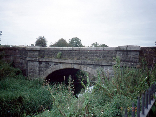 Mulhuddart Bridgebridge · 1402 yd
 Graveyard in BuzzardstownGraveyard · 1602 yd
 TyrrelstownWood · 1.4 mi
 Site of CastleCastle, tower house · 1.7 mi
 Church, GraveyardChurch · 2.1 mi
 Castleknock CastleCastle · 2.1 mi
 Giant SequoiaGiant Sequoia · 2.6 mi
 Griffeen Valley WalkWalking route · 4.5 mi
Other information
Photo: Credit not shown in the picture search · Rights wording not checked; contact us if this picture should be removed