
What is recorded here
Named 'corn mill' on the 1837 OS 6-inch map. This 19th century, four bay, three storey mill probably occupies the site of an earlier mill. Described in the Civil Survey (1654-6) as 'one waste mill' belonging to Simon Luttrell (Simington 1945, 242). Test excavation (Licence no. 08E0147) was undertaken in the vicinity in advance of the Blanchardstown Regional Water Scheme but no archaeological remains were identified.
Compiled by: Geraldine Stout
Updated by: Christine Baker
Date of upload: 20 January 2015
The monument record does not grant public access. Check the route and ask the landowner before entering private land.
- What survives
- Recorded monument
Places near here
 Saint Brigid's Catholic Churchchurch/chapel · 373 yd
 Granard Bridgebridge · 765 yd
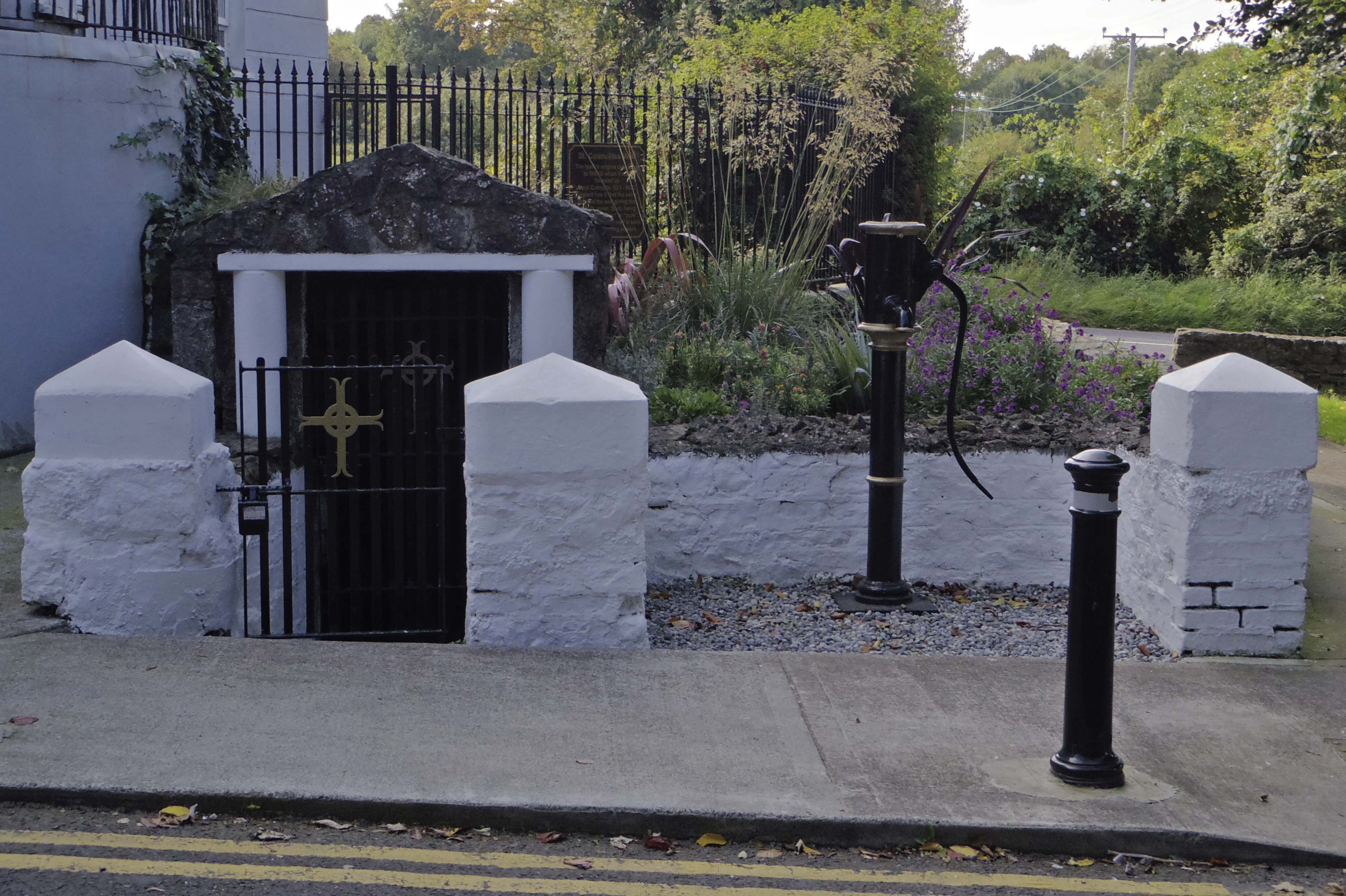 Holy well in AbbotstownHoly well · 1056 yd
 Fulacht fia in Deanstown (castleknock By.)Fulacht fia · 1256 yd
 Blanchardstown Centre information deskVisitor information · 1324 yd
 Castleknock CastleCastle · 1.4 mi
 Site of CastleCastle, tower house · 1.6 mi
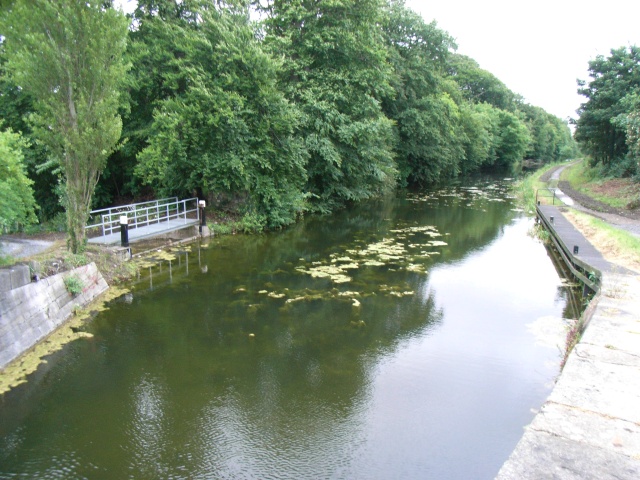 The Royal Canal WayWalking route · 1.6 mi
 National Famine WayWalking route · 1.6 mi
 Graveyard in BuzzardstownGraveyard · 1.7 mi
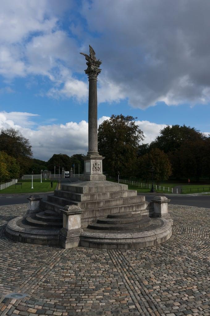 Martin Savage Memorial MonumentMonument · 2.0 mi
 Rabbit WarrenWood · 2.2 mi
Other information
Photo: Credit not shown in the picture search · Rights wording not checked; contact us if this picture should be removed