
What is recorded here
The Down Survey (1655-6) map shows dwellings at the mouth of the estuary at the southern end of the present village of Portmarknock. The exact location of these is unknown.
Compiled by: Geraldine Stout
Date of upload: 26 August 2011
The monument record does not grant public access. Check the route and ask the landowner before entering private land.
- What survives
- Recorded monument
Places near here
 Earthwork in MaynetownEarthwork · 326 yd
 Enclosure in MaynetownEnclosure · 756 yd
 Baldoyle Estuary Nature ReserveNature reserve · 760 yd
 Catholic Church of Saint Peter and Saint Paulchurch/chapel · 1150 yd
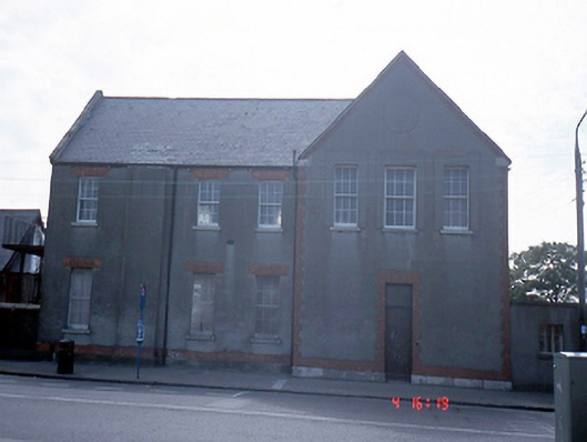 Convent of the Sisters of Charityschool · 1157 yd
 Map of Baldoyle Industrial EstateVisitor information · 1255 yd
 Strand Mill RuinsRuins · 1482 yd
 Portmarnock BeachBeach / strand · 1.1 mi
 Graveyard in Kilbarrack LowerGraveyard · 1.3 mi
 Burrow BeachBeach / strand · 1.7 mi
 St Catherine's WellSpring · 1.8 mi
 Ayrfied UnitedHeritage attraction · 1.9 mi
Other information
Photo: Credit not shown in the picture search · Rights wording not checked; contact us if this picture should be removed