What is recorded here
Recorded on the Down Survey (1655-6) as a large, gabled house in the vicinity of the 'Blackchurch Ho. in Ruins' which is shown as an L-shaped building on the 1st ed. (1838) of the OS 6-inch map. It is subsequently shown, slightly altered and named 'Blackchurch House' on the latest ed. (1939) of the OS 6-inch map. All that survives today is a small, single storied cottage.
Compiled by: Gearóid Conroy
Date of upload: 10 June 2011
The monument record does not grant public access. Check the route and ask the landowner before entering private land.
- What survives
- Recorded monument
Places near here
 Enclosure in BlackchurchEnclosure · 484 yd
 Enclosure in Castlewarden NorthEnclosure · 1055 yd
 Castlewarden MoatCastle, motte and bailey · 1101 yd
 Oughterard CastleCastle · 1.3 mi
 Common LimeCommon Lime · 1.4 mi
 Oughterard Round TowerHeritage attraction · 1.5 mi
 Arthur Guinness GraveMemorial · 1.5 mi
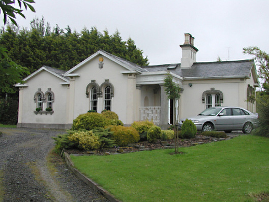 Steelstown Lodgegate lodge · 1.6 mi
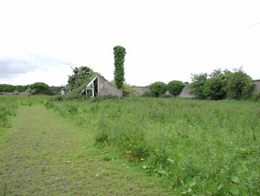 Johnstown Housewalled garden · 1.6 mi
 Kilteel WoodWood · 1.7 mi
 Athgoe HillMountain / peak · 2.5 mi
 Saggart HillMountain / peak · 3.1 mi