
What is recorded here
An aerial photograph (GSI N 397-8) shows Castlewarden motte and bailey (KD015-009001-) at the centre of a series of low earthworks: radiating off the bailey is a system of small fields enclosed by fosses, while a large area (est. dims L c. 120m E-W; Wth c. 110m) extending N, S and W of the motte is apparently defined by a fosse. The subsequent creation of Castlewarden Golf and Country Club on the site, has altered and obscured these features. Registered as a Historic Monument (Medieval Earthwork Complex) on 19-July-1976.
Compiled by: Gearóid Conroy
Date of upload: 10 June 2011
The monument record does not grant public access. Check the route and ask the landowner before entering private land.
- What survives
- Recorded monument
Places near here
 Castlewarden MoatCastle, motte and bailey · 53 yd
 Enclosure in BlackchurchEnclosure · 1084 yd
 Oughterard CastleCastle · 1532 yd
 Arthur Guinness GraveMemorial · 1747 yd
 Oughterard Round TowerHeritage attraction · 1749 yd
 Enclosure in HuttonreadEnclosure · 1.0 mi
 Common LimeCommon Lime · 1.2 mi
 Cullen's Hill WoodWood · 1.4 mi
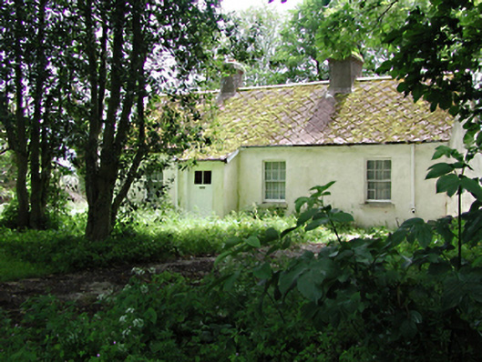 The Cottagehouse · 1.5 mi
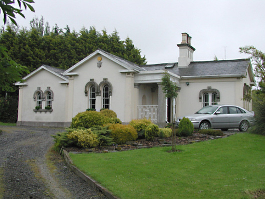 Steelstown Lodgegate lodge · 1.5 mi
 Athgoe HillMountain / peak · 2.1 mi
 Saint Finian's WellSpring · 2.6 mi
Other information
Photo: Credit not shown in the picture search · Rights wording not checked; contact us if this picture should be removed