What is recorded here
The Down Survey map (1655-56 AD) for Kenry barony (Hib. Reg.) shows a house near the southern boundary of this townland. The exact location and nature of this building is not known.
Compiled by: Denis Power
Date of Upload: 2 August 2012
The monument record does not grant public access. Check the route and ask the landowner before entering private land.
- What survives
- Recorded monument
Places near here
 Enclosure in BallynacarrigaEnclosure · 172 yd
 schoolschool · 730 yd
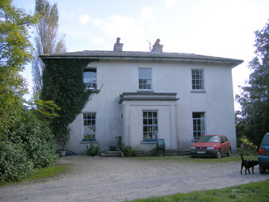 Rockfield Housecountry house · 1040 yd
 Grave YardGraveyard · 1307 yd
 Ballyculhane CastleCastle · 1.2 mi
 Rinekirk PointHeadland · 1.3 mi
 Castle (in ruins)Castle, tower house · 1.4 mi
 Grass IslandIslet · 1.5 mi
 Maiden RockNamed rock · 1.6 mi
 Sailors HaggardMemorial · 3.0 mi
 Bunratty Castlehouse · 3.1 mi
 Ringmoylan PierVisitor information · 3.2 mi