What is recorded here
A small building is shown on the Down Survey (1655-6) barony map close to the tip of Ballycotton headland. There is no trace of such a structure in this area today.
The above description is derived from 'The Archaeological Inventory of County Cork. Volume 5' (Dublin: Stationery Office, 2009).
Date of upload: 22 December 2009
This remains an important historical record, but the official description says the monument is no longer visible or has been destroyed. The monument record does not grant public access. Check the route and ask the landowner before entering private land.
- What survives
- No visible remains or recorded as destroyed
Places near here
 Enclosure in BallycottonEnclosure · 149 yd
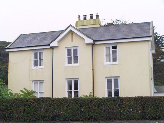 Glebe Houserectory/glebe/vicarage/curate's house · 446 yd
 Tig Tiarhouse · 464 yd
 Ch (Site of)Church · 530 yd
 Mary StandfordMemorial · 821 yd
 P.N.L.B. Mary StandfordWreck · 846 yd
 Ballycotton Island (Small)Islet · 1660 yd
 Ballycotton IslandIslet · 1.4 mi
 Garryvoe BeachBeach / strand · 1.8 mi
 Garryvoe Castle (in Ruins)Castle, tower house · 3.1 mi
 CastleCastle, tower house · 3.6 mi
 Ballycroneen BeachBeach / strand · 4.3 mi