What is recorded here
The Down Survey (1655-6) map shows a dwelling in Athgoe.The exact location of this monument is unknown.
Compiled by: Geraldine Stout
Date of upload: 26 August 2011
The monument record does not grant public access. Check the route and ask the landowner before entering private land.
- What survives
- Recorded monument
Places near here
 Earthwork in AthgoeEarthwork · 248 yd
 Athgoe HillMountain / peak · 359 yd
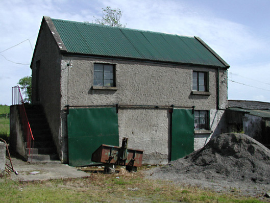 outbuildingoutbuilding · 480 yd
 BarrowBarrow, unclassified · 482 yd
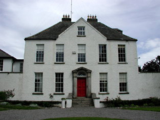 Athgoe Castlecountry house · 528 yd
 Colmanstown Castle (in ruins)Castle, tower house · 914 yd
 Saint Finian's WellSpring · 1623 yd
 CastleCastle, tower house · 1690 yd
 European YewEuropean Yew · 1.2 mi
 Icehouse WoodWood · 1.3 mi
 Inniscara GalleryGallery · 1.6 mi
 Meadow WildlifeVisitor information · 2.3 mi