
What is recorded here
The Down Survey (1655-6) barony map shows a large house in 'Ardearagh', somewhere in the vicinity of these townlands. Enquiries in this area revealed no information on such a house.
The above description is derived from 'The Archaeological Inventory of County Cork. Volume 5' (Dublin: Stationery Office, 2009).
Date of upload: 22 December 2009
The monument record does not grant public access. Check the route and ask the landowner before entering private land.
- What survives
- Recorded monument
Places near here
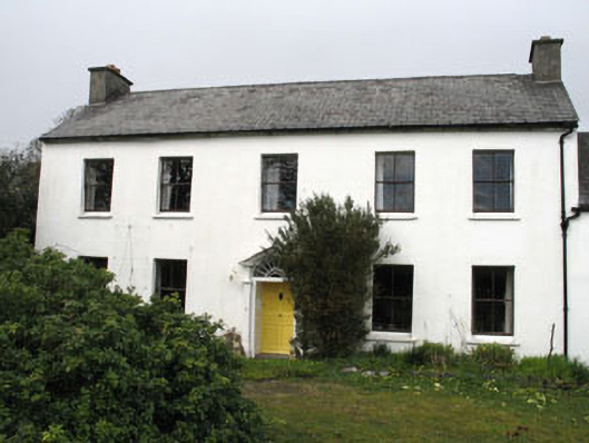 Greenmount Househouse · 323 yd
 bridgebridge · 377 yd
 Ballydehob HarbourVisitor information · 892 yd
 The 12-Arch Railway ViaductVisitor information · 957 yd
 Danno O’Mahony statueMemorial · 1205 yd
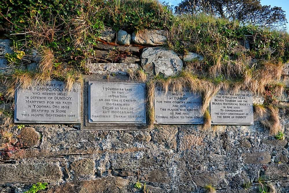 Stouke Grave YardGraveyard · 1505 yd
 Reen KeelBurial ground · 1.2 mi
 Mannin IslandIslet · 1.9 mi
 Kilcoe CastleCastle · 2.0 mi
 Mannin BegIslet · 2.0 mi
 Rossbrin CastleCastle · 2.0 mi
 KnockaphukeenMountain / peak · 2.6 mi
Other information
Photo: Credit not shown in the picture search · Rights wording not checked; contact us if this picture should be removed